Kayaking

Details

Curated selection of points
Fast chargers available along the route

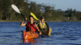
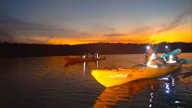
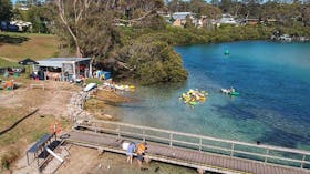
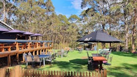
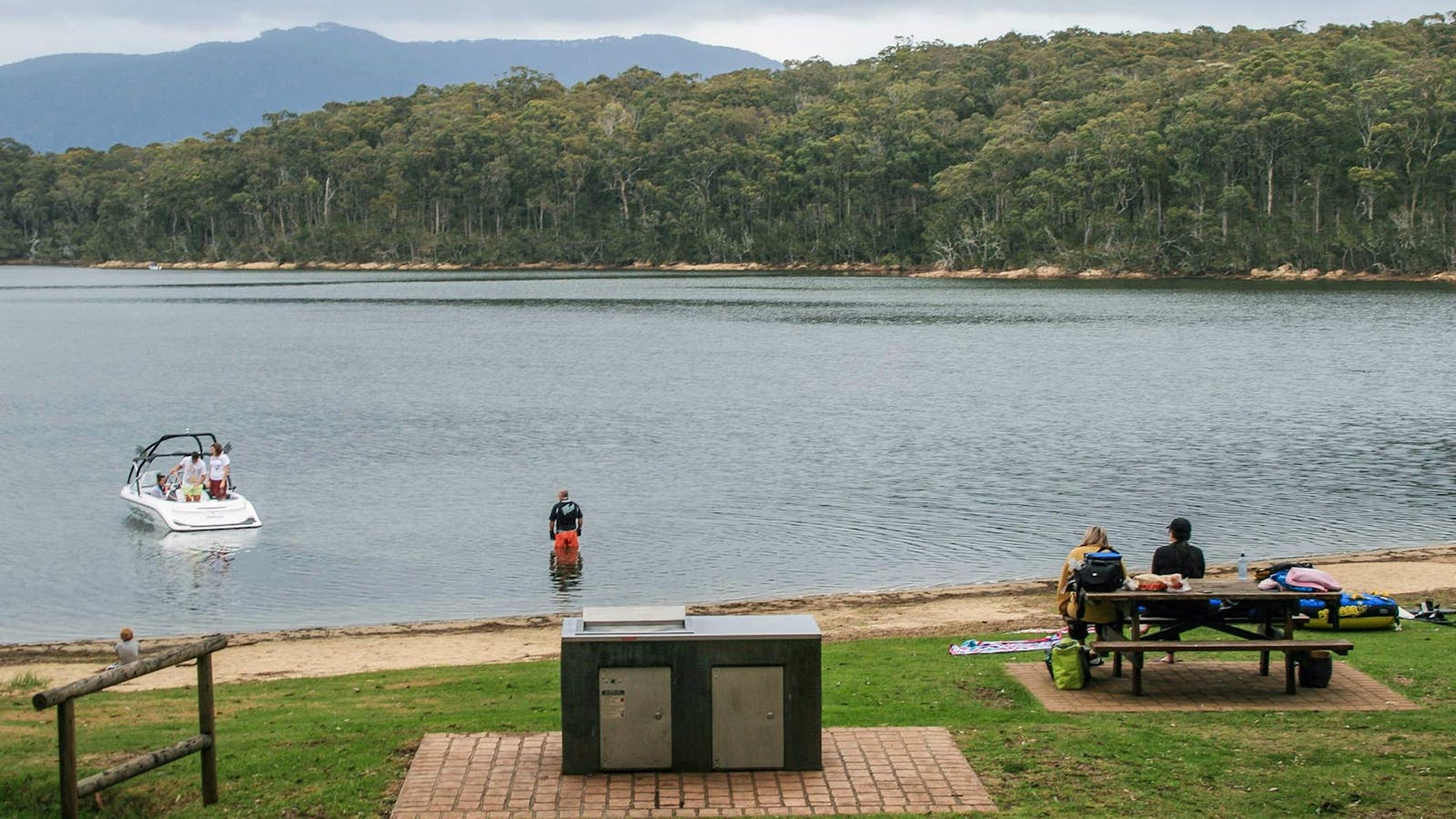
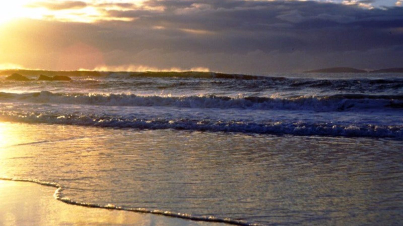
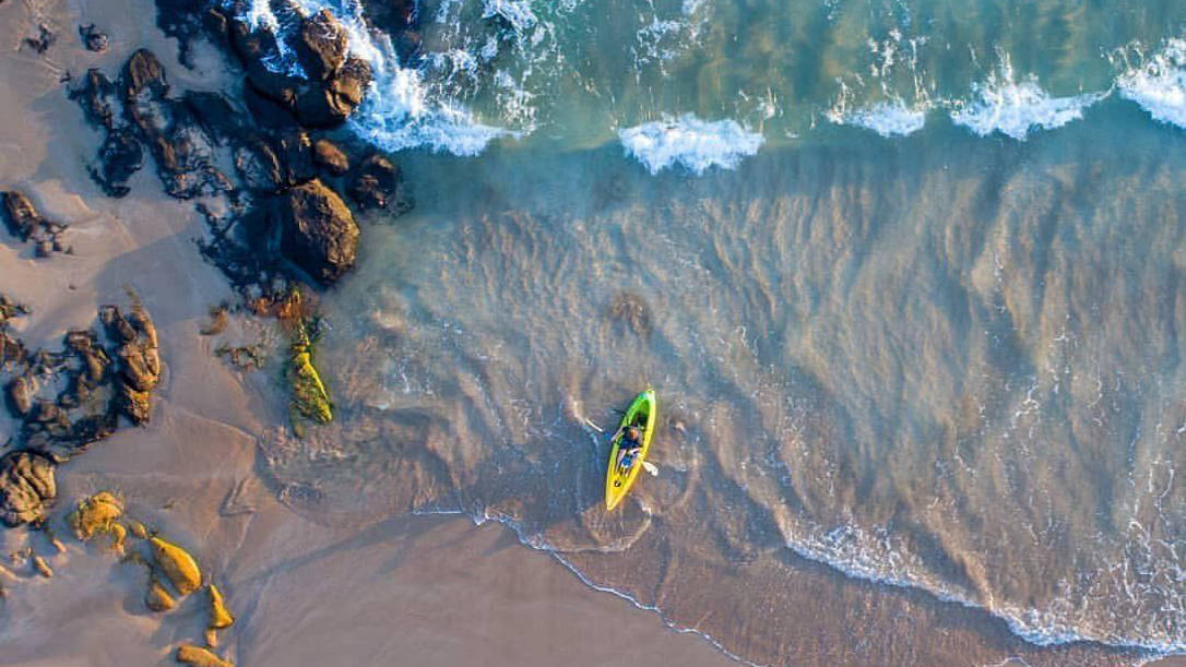
Eurobodalla is heaven for kayakers, canoeists and standup paddleboarders with four major river systems, 20 lakes and 83 beaches.

Flatwater or sea, paddle away from it all to discover some of the quietest and least touched places in Australia, or glide in for lunch at a waterside cafe or restaurant. Paddle rivers, estuaries, creeks, inlets, lakes and the ocean in some of the cleanest water in the world.
The mild winters make it easy to enjoy paddling all year round. Each season brings its own palette of colours to the sea and landscape.
Open in mobile
1
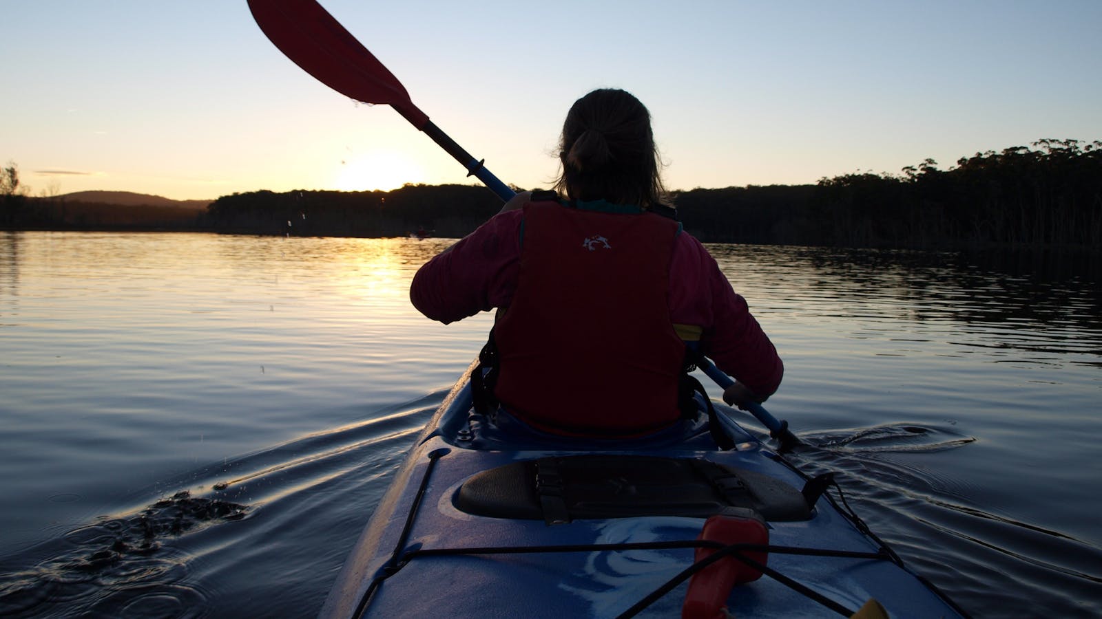
Kayaking Durras Lake

Surrounded by Murramarang National Park, Durras Lake is excellent for safe exploring with many tributaries, small exposed areas and shallow bays.
Open in mobile
South Durras, New South Wales, Australia, 2536
1800 802 528
info@eurobodalla.com.au
Get Directions
Surrounded by Murramarang National Park, Durras Lake is excellent for safe exploring with many tributaries, small exposed areas and shallow bays. As you paddle up the lake you will leave the villages behind and become immersed in the wilderness of the spotted gum forest.
Launch at the end of Lakeside Drive, South Durras or via the informal boat ramp at the end of North Durras Road, North Durras. A circumnavigation could be up to 15 kilometres.
Bay and Beyond Sea Kayak Tours
South Durras, New South Wales, Australia, 2536
0404 477 288
bayandbeyond@ozemail.com.au
Get Directions

Come and explore pristine coastal lakes, tidal estuaries and open coastline of the Batemans Marine Park in the Eurobodalla Shire.

Explore pristine coastal lakes, tidal estuaries and the open coastline of the Batemans Marine Park in the Eurobodalla Shire.
Kayaking gives you the best seat for a view of the marine environment as you skim across the shallows or break out into the open water in search of dolphins and whales.
You can join a tour or head out on your own to explore some quieter waters with a rental. Personal tuition will help you to get off to a safer start.
Stand Up Paddle Boarding hire available on Durras Lake.
Durras Lake Discovery Trail
Photo: John Yurasek/NSW Government
Durras North, New South Wales, Australia, 2536
Get Directions
Walks, Hiking

If you’re spending some quality family time on the South Coast, the Durras Lake Discovery trail is an easy walk in the central precinct of

If you’re spending some quality family time on the South Coast, the Durras Lake Discovery trail is an easy walk in the central precinct of Murramarang National Park. The kids will love hopping across the playful stepping stones, climbing the lookout tower and testing their balance on the log walk.
Leading through majestic spotted gums and spiky burrawangs, you’ll pass a remnant of endangered rainforest. Informative displays highlight the history of the forest and early logging in the area. Now protected, this rare forest is ideal for wildlife and birdwatching. You might see crimson rosellas, new Holland honey eaters as well as kangaroos and red-necked wallabies.
There’s the option to join Lake walk for more views of Durras Lake, or simply pick your spot for a picnic under the shade of the spotted gums.
2
South Durras to Batemans Bay - Kayaking in the Batemans Marine Park

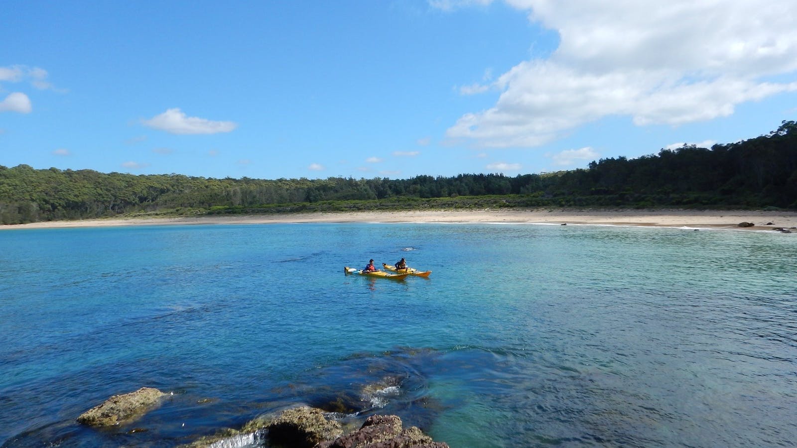
An enjoyable 17-kilometre sea paddle along a quiet coastline of small beaches and rugged headlands in Murramarang National Park.
Open in mobile
South Durras, New South Wales, Australia, 2536
1800 802 528
info@eurobodalla.com.au
Get Directions
An enjoyable 17-kilometre sea paddle along a quiet coastline of small beaches and rugged headlands in Murramarang National Park. As you come past Wasp Island you will pick up the open sea conditions.
The geology here is fantastic - you're at the south end of the Sydney Sandstone Basin dating back to between 200 and 300 million years. That's 200 million years younger than the Wagonga formation which you will see emerging as you pass Dark Beach. As you round the headland north of Richmond Beach take a minute to appreciate the magnificent upward arching fold in the cliff face.
Most beaches face south east and have powerful dumping surf if a southerly swell is up. Safer landings can be found once you enter Batemans Bay. Richmond Beach is the easiest for landing.
Launch at the boat ramp at Cookies Beach off Banyandah Street, South Durras. For a shorter option, finish at Maloneys Beach. The barbecue picnic area and toilets are at Cookies Beach, Maloneys Beach and Clyde Street Boat Ramp.
Cullendulla Creek Nature Reserve
Surfside, New South Wales, Australia, 2536
1300 072 757
parks.info@environment.nsw.gov.au
Get Directions
Accessible
Non-smoking
Walks, Lookouts
Accessible

Batemans Bay is beautiful, but it also has a hidden trump card up its sleeve; Cullendulla Creek Nature Reserve.
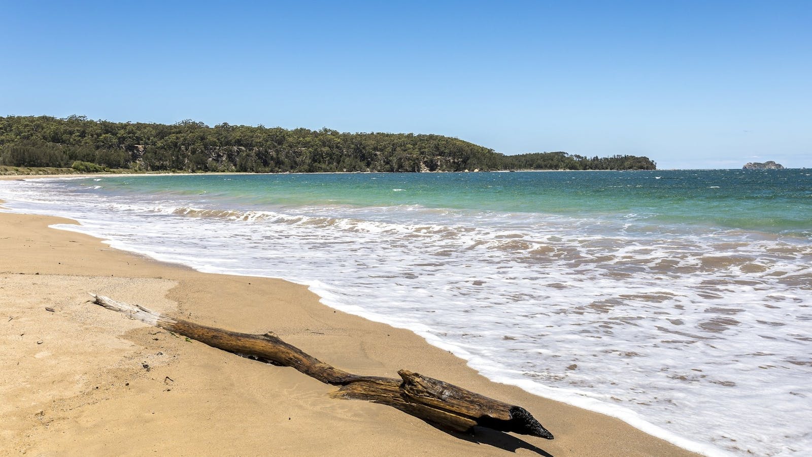
Batemans Bay is beautiful, but it also has a hidden trump card up its sleeve; Cullendulla Creek Nature Reserve. Sugar gliders slip between the trees, echidnas forage in the undergrowth, oystercatchers and soldier crabs stalk across the sand, and black swans frolic in the bay.
Visitors will find the activities just as rich as the wildlife, with plenty to keep you returning. Pack a picnic, grab a towel, and head to the secluded beach, or pull on your walking shoes for a short hike to a scenic lookout, with Snapper Island and the Tollgates in clear sight. There's canoeing and kayaking too, and even fishing in certain areas.
Pack some binoculars for some stellar birdwatching: the southern emu wren is here all year round, but it's joined by local and migratory birds from everywhere. And budding geologists will be fascinated by the two chenier' dune formations the only examples south of North Queensland.
Maloneys Beach
Eurobodalla Shire Council
Maloneys Beach, New South Wales, Australia, 2536
Get Directions

Maloneys beach is ideal for family outings with a wide grassy reserve, toilets, boat ramp, free electric barbecues and covered picnic tables.
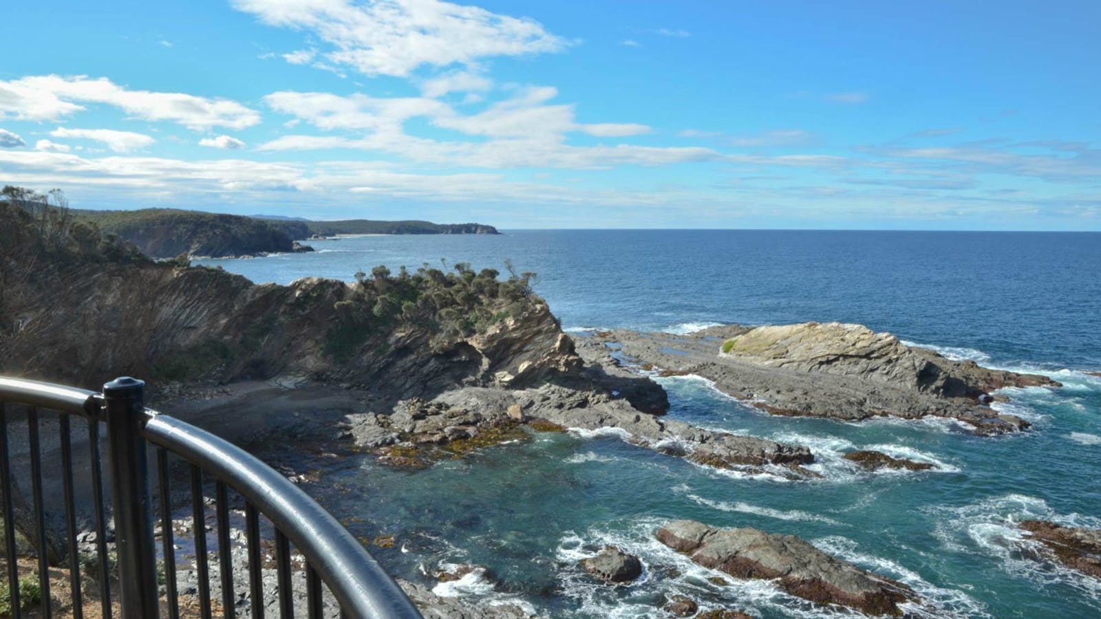
Maloneys Beach is approximately 14 kilometres north of Batemans Bay township. Situated on the northern shore of Batemans Bay and adjacent to Murramarang National Park, the beach is enclosed by headlands and chain-like rock formations. Featuring protected coves, rockpools, visiting pods of dolphins, an expansive grass reserve which attracts lots of kangaroos, toilets and picnic area, it is an ideal family beach. Maloneys Beach is a recommended location for snorkelling, swimming and walking.
North Head Lookout
Photo: M Jarmon
Benandarah, New South Wales, Australia, 2536
1300 072 757
parks.info@environment.nsw.gov.au
Get Directions

The spectacular cliffs along the Murramarang coastline are on fine display from North Head lookout. After following a well-formed track for 300 metres over gently
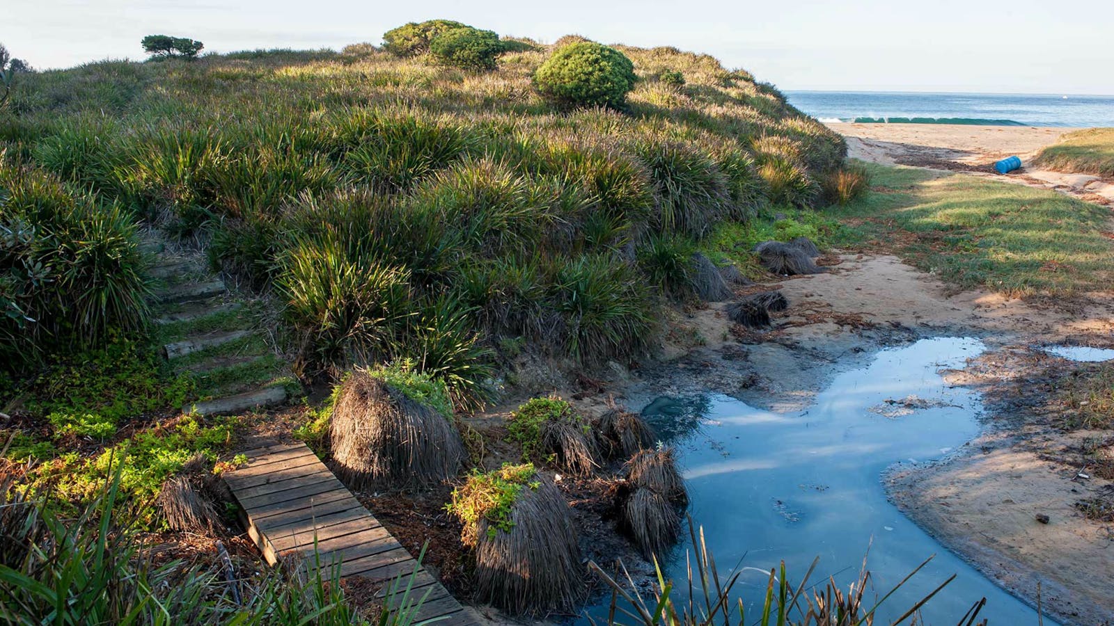
The spectacular cliffs along the Murramarang coastline are on fine display from North Head lookout. After following a well-formed track for 300 metres over gently undulating hills, you’ll arrive at a safe vantage spot with excellent views of the coastal headland and the wide blue sea. Bring the kids and a pair of binoculars – whales migrate past in winter, making this a perfect spot for whale watching. Pods of dolphins are often visible, too.
If birdwatching is an interest, North Head lookout is also a terrific place to see some of the 90 beautiful species that live in Murramarang National Park. Sea eagles and peregrine falcons like to make their homes in the cliff-faces and sometimes circle overhead – don’t forget to look up.
After taking your fill of the view, consider heading down to one of Murramarang’s gorgeous beaches and passing a lazy afternoon by the water’s edge.
Richmond Beach
Photo: Michael Van Ewijk
Benandarah, New South Wales, Australia, 2536
Get Directions
Picnic Area
Picnic Area
Canoeing/Kayaking, Fishing, Snorkelling, Surfing, Swimming

Wander along a short and easy walking track and within a few steps you’ll arrive at the secluded beauty of Richmond Beach. Ideal for families,
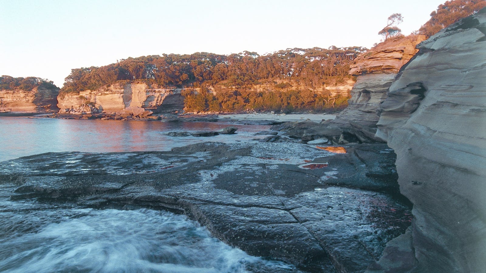
Wander along a short and easy walking track and within a few steps you’ll arrive at the secluded beauty of Richmond Beach. Ideal for families, it provides protection from most onshore winds and makes for a peaceful day at the beach.
Surrounded by forest, there are plenty of shady spots to throw down a picnic rug and enjoy a picnic in a stunning natural setting. Bring your fishing gear and try your luck fishing from the beach, or go swimming and snorkelling in the sparkling blue waters.
With more than 90 species of birdlife in Murramarang, this is also a great spot for birdwatching. Wander along the foreshore and see how many species you can see. Catch a glimpse of gannets flying over the waters or watch the sooty oystercatchers fossicking along the shoreline.
South Durras
South Durras, New South Wales, Australia, 2536
Get Directions
Birdwatching, Boating, Camping, Canoeing/Kayaking, Cycling, Fishing, Hiking, Mountain Biking, Sailing, Scenic Drives, Scuba Diving, Snorkelling, Surfing, Swimming, Walks

Rich forests, secluded beaches and imposing ancient headlands form South Durras and renowned for its abundance of wildlife such as kangaroos, wallabies, echidna and possums.

3
Batemans Bay Kayaking Trail

Batemans Bayt Kayaking Trail is where you can explore this beautiful and significant spot in your kayak or on foot.
Open in mobile
Surfside, New South Wales, Australia, 2536
1800 802 528
info@eurobodalla.com.au
Free Entry
Birdwatching, Canoeing/Kayaking
Parking
Get Directions
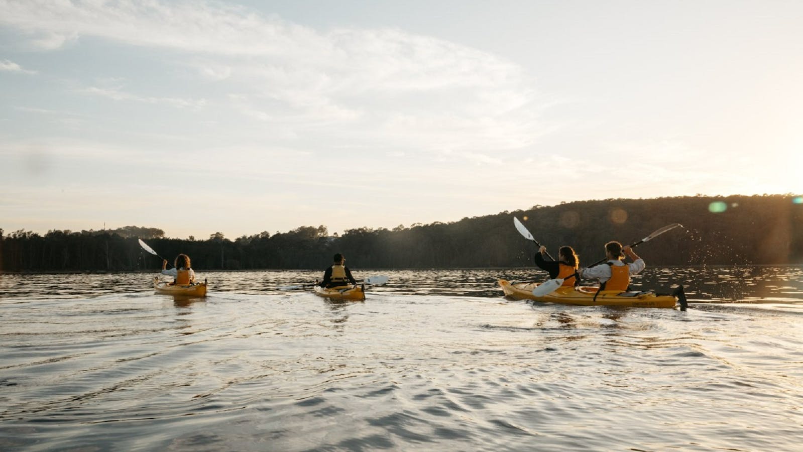
Park at Surfside Beach where the trail begins. First paddle around the point to Cullendulla Creek, where you can explore this beautiful and significant spot in your kayak or on foot. Exploration of this creek is recommended on higher or between tides. Land kayaks here and take a short walk on the unique Cullendulla Nature Reserve boardwalk with interpretive signage about the noteworthy Aboriginal history.
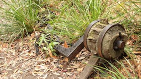
The upper end of the creek features the fascinating historic remains of a railway. From Cullendulla Creek Paddle to Square Head and around the spectacular Snapper Island, note that the island is a nature reserve and landings are not permitted. From here you can paddle back to Surfside Beach or finish at one of the landing stops along the way.
Distance is dependent on which route, but the return trip may be approximately 14 kilometres.
Cullendulla Creek Nature Reserve
Surfside, New South Wales, Australia, 2536
1300 072 757
parks.info@environment.nsw.gov.au
Get Directions
Accessible
Non-smoking
Walks, Lookouts
Accessible

Batemans Bay is beautiful, but it also has a hidden trump card up its sleeve; Cullendulla Creek Nature Reserve.
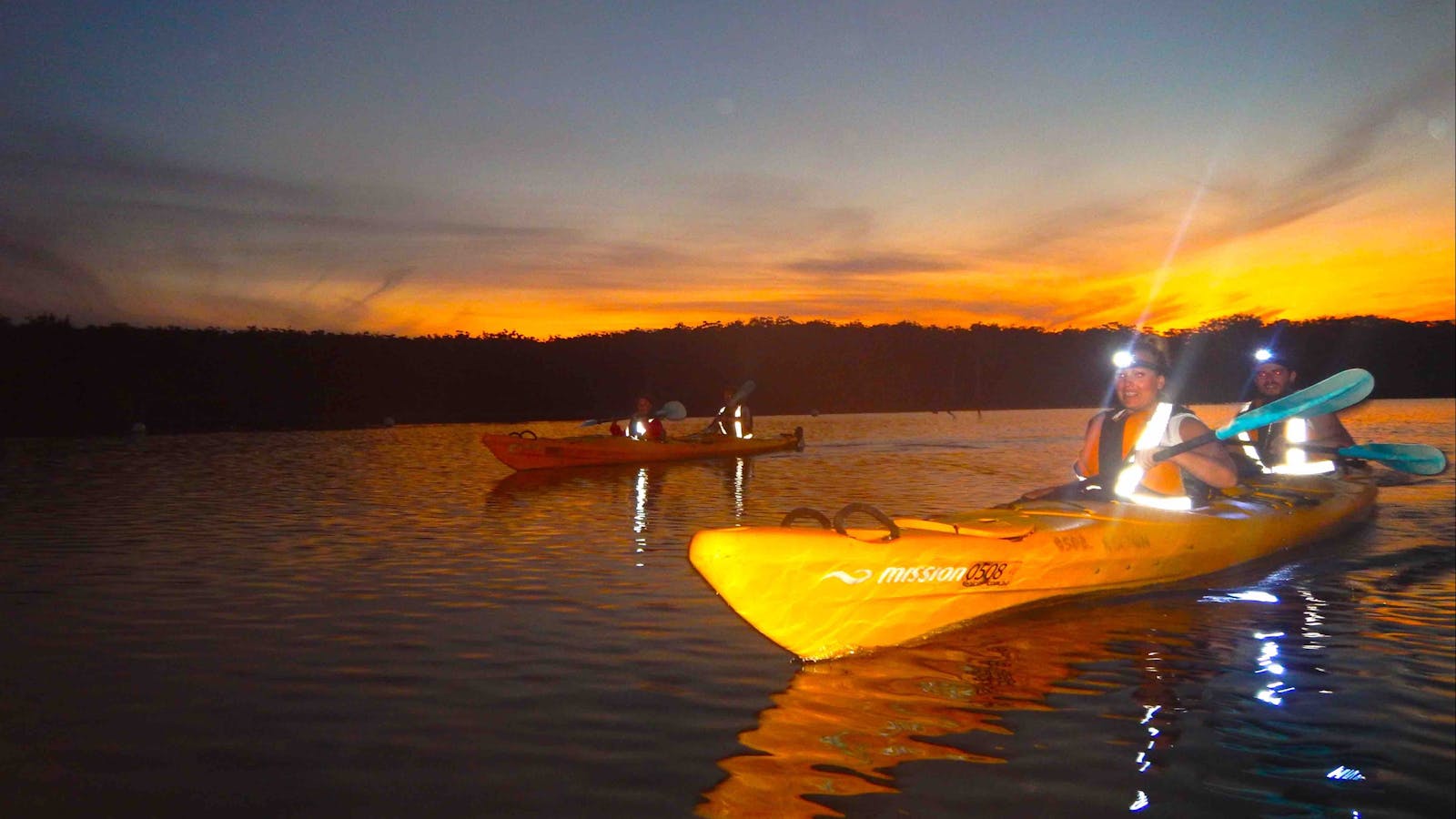
Batemans Bay is beautiful, but it also has a hidden trump card up its sleeve; Cullendulla Creek Nature Reserve. Sugar gliders slip between the trees, echidnas forage in the undergrowth, oystercatchers and soldier crabs stalk across the sand, and black swans frolic in the bay.
Visitors will find the activities just as rich as the wildlife, with plenty to keep you returning. Pack a picnic, grab a towel, and head to the secluded beach, or pull on your walking shoes for a short hike to a scenic lookout, with Snapper Island and the Tollgates in clear sight. There's canoeing and kayaking too, and even fishing in certain areas.
Pack some binoculars for some stellar birdwatching: the southern emu wren is here all year round, but it's joined by local and migratory birds from everywhere. And budding geologists will be fascinated by the two chenier' dune formations the only examples south of North Queensland.
Region X Sea Kayak and Camping Adventures
Batemans Bay, New South Wales, Australia, 2536
1300 001 060
info@regionx.com.au
Get Directions
Public Toilet
Public Toilet
Camping, Canoeing/Kayaking
Parking

Kayak the beautiful waters of the Batemans Marine Park, part of the unspoilt South Coast with multi award winning kayak company, Region X.

Explore the beautiful and unspoilt South Coast of NSW and join a range of highly recommended nature-based experiences with multi-award-winning Region X.
The range includes short kayak tours such as the Glass Bottom Kayak Tour, perfect for families and Oyster Tasting Kayak Tours for seafood lovers!
Half-Day Sea Kayak Tours reward you with remote and otherwise inaccessible locations to snorkel, eat, explore and discover.
Enjoy a guided Cycle through many of the area's National Parks and plunge into a remote rock pool.
The hiking in the region is breathtaking and Region X offers various hikes to suit your fitness.
Visitors can even enjoy longer tours and truly discover the region with a multi-day tour with incredible wildlife encounters such as whales, dolphins, turtles, stingrays, sea eagles, a variety of sea birds, as well as wildlife on the land including kangaroos, lace monitors and magical birdlife.
Tours operate from various departure points in and around Batemans Bay, four hours from Sydney, and two hours from Canberra.
4
Kayaking the Lower Clyde River - Batemans Bay and Nelligen

An expansive river famous for its oysters and surrounding national park. Launch into shallow water on the north or south side of Batemans Bay Bridge.

Open in mobile
Batemans Bay, New South Wales, Australia, 2536
1800 802 528
info@eurobodalla.com.au
Get Directions
An expansive river famous for its oysters and surrounding national park.
Launch into shallow water on the north or south side of Batemans Bay Bridge. For a 15 kilometres one-way paddle head up to Nelligen. You will pass the Clyde River National Park's Big and Little Island, with landing spots on both their southern shores, to land at the little beach downstream of the western boat ramp at Nelligen. Buckenbowra River is worth a side trip if time allows.
Check the tides and watch for strong tidal flows. The river bar downstream of the Batemans Bay Bridge should be avoided.
Picnic tables and toilets are at the southern boat ramp in Batemans Bay and Nelligen.

Sights & Activities

Nelligen Kayak Hire
Peter Counsell
Nelligen, New South Wales, Australia, 2536
0436 016 856
paddle@NelligenKayakHire.com.au
Get Directions
$25 ~ $100 AUD*
Parking
* Whether you hire a single kayak for just one hour or a top of the line two-three person Canoe for the entire day, you are assured of top value. All safety gear including PFD's and dry bags included.

Nelligen Kayak Hire offers single or double sit-on top kayaks or "WenoNah" Canoes to explore the Clyde River on the NSW South Coast

Nelligen Kayak Hire offers single or double sit-on-top kayaks or "WenoNah" Canoes to explore the beauty of the Clyde River on the NSW South Coast near Batemans Bay.
You have the flexibility to choose from sessions lasting an hour to an entire day, and no prior experience is necessary. All the necessary safety equipment will be provided for your convenience. These activities are based in Nelligen, and to secure your spot, simply reach out to them via phone to make a booking.
5
Kayaking the Upper Clyde River - Shallow Crossing

Explore the tributaries and be prepared to cross shallow water spots and pebble races.
Open in mobile
Nelligen, New South Wales, Australia, 2536
1800 802 528
info@eurobodalla.com.au
Get Directions
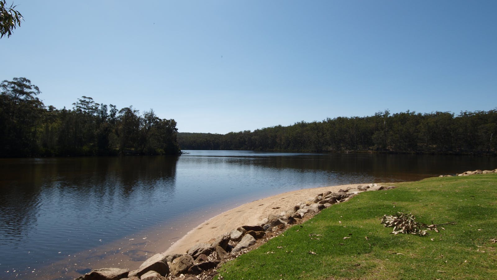
From Nelligen the Clyde River snakes 25 kilometres to the tidal limit at Shallow Crossing. Explore the tributaries and be prepared to cross shallow water spots and pebble races.
Launch spots on either side of the causeway at the privately owned-campground at Shallow Crossing.
Paddle another 10 to 15 kilometres up this lush, freshwater section depending on the water level, flows and accessibility.
Expect to experience shallow water, small rapids and trees across the river. If the water levels are high, drive up River Road to Brooman and launch from there for a worthwhile one-way trip down the river to Shallow Crossing.

Sights & Activities

Nelligen
Nelligen, New South Wales, Australia, 2536
Get Directions
Birdwatching, Boating, Camping, Canoeing/Kayaking, Cycling, Fishing, Hiking, Mountain Biking, Walks

The picturesque historic village of Nelligen lies in one of the sweeping bends of the majestic Clyde River.

The picturesque riverside village of Nelligen is the first place to greet visitors arriving from the winding forest highway to Eurobodalla’s west. Just 10 minutes from Batemans Bay, the town has signalled the start of a beach and bush holiday for generations of Australians.
It’s a tranquil place, and sits on the edge of the Clyde River as if watching over the past. The town’s history is rich and fascinating with gold prospectors, bushrangers and steam ships having all called Nelligen home. The once bustling streets are now quiet and serene – the soothing tranquillity of the river matched only by the silence of the surrounding forests.
The waterfront area along Wharf Street is a great place to relax and take it in. Here, a wide grassy bank makes a perfect place to picnic. Fish and chips and other takeaway’s are nearby. You can fish right from your picnic spot or from the jetty next to the boat ramp.
Surrounded by forests, the Clyde River is remarkably pristine and undeveloped. Exploring it by boat or kayak reveals islands, sandy beaches and numerous small tributaries. It’s very easy to find a place that feels like the most remote wilderness, and a few hours among the river-forests can be transformative. Nelligen fishes well, with bream and flathead common, and huge mulloway lurking for the very lucky or very experienced.
There is a choice of quality accommodation in Nelligen. Popular with families, the Nelligen Holiday Park is surrounded by water, allowing families to park their boats and kayaks on the banks near their camp spots, or throw a line into the river from a caravan-side camp chair or waterfront balcony. For the ultimate river stay, the estuary between Nelligen and Batemans Bay is a haven for houseboats. A few days relaxed living under big skies on the forested waters, with fishing, swimming and sunsets right off your bow, is an experience like no other.
Shallow Crossing
Nelligen, New South Wales, Australia, 2536
Get Directions

Enjoy a scenic drive from Batemans Bay to Shallow Crossing via historic Nelligen Village.

Enjoy a scenic drive from Batemans Bay to Shallow Crossing via historic Nelligen Village.
Meander along the banks of the Clyde River, do a spot of kayaking or throw in a line. Be sure to take your swimmers and have a dip in the cool water at the Shallow Crossing water hole.
6
Kayaking Batehaven to Mossy Point

A 20km paddle launching from Corrigans Beach and following the coastline south. Keep a safe distance from the rocky cliffs and headlands.
Open in mobile
Eurobodalla Shire Council
Batehaven, New South Wales, Australia, 2536
1800 802 528
info@eurobodalla.com.au
Canoeing/Kayaking
Get Directions
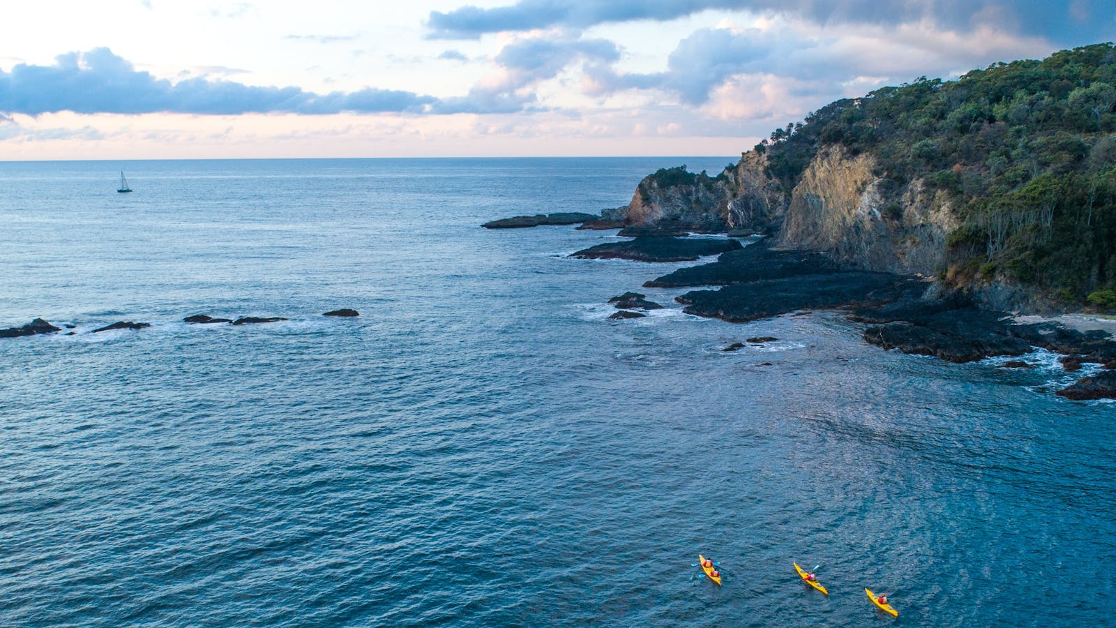
A 20 kilometre paddle with options for shorter trips. Launch at Corrigans Beach and follow the coastline south east keeping a safe distance from the rocky cliffs. Follow headlands and sheltered bays to Mosquito Bay with a landing option at the protected boat ramp.
From here conditions are subject to weather and the next stage should only be attempted by experienced groups in kind weather. The paddling becomes more spectacular as you go round Pretty Point and Jimmies Island and there is a sheltered landing point at Guerilla Bay.
The next stage is committing and should only be attempted with the right conditions, group, fitness level and craft. Burrewarra Point, protected by a lighthouse and high cliffs, has secluded beaches, reefs and islets. Rounding the protruding point is the climax of this journey. As you head west, the mountains and beaches offer protection from northerly weather patterns. Explore Barlings Island then across the bay to the entrance of the Tomaga River at Mossy Point. The river bar is only navigable in small swell.
A trip of this kind is not to be attempted in rough weather or wind. Boat ramps, parking and toilets are at Corrigans Beach, Mosquito Bay and Mossy Point.
7
Kayaking Tomaga River

Take a flat water paddle from Mossy Point to explore the Tomaga River and its tributaries.
Open in mobile
Mossy Point, New South Wales, Australia, 2537
1800 802 528
info@eurobodalla.com.au
Free Entry
Public Toilet, Picnic Area
Picnic Area
Public Toilet
Canoeing/Kayaking, Snorkelling, Swimming
Parking
Get Directions
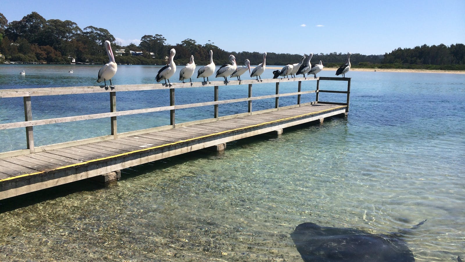
A clean, clear river with options for short paddles or a 22 kilometre return trip from Mossy Point to the end of Mogo Creek. Take the eastern tributary at the junction of Jeremadra and Mogo Creeks for this route. The junction is seven kilometres from Mossy Point.
Parts of the river are shallow above oyster leases and there is a strong tide near the mouth, so stay in the shallows when paddling against the tide.
Launch into shallow water near the boat tamp at Annetts Parade but note that this is directly into the river's tidal current. Novices could use the boat ramp at Kingston Place, Tomakin to avoid strong tides near the river mouth.
Toilets are near the boat ramps at both Mossy Point and Tomakin.

Sights & Activities

The Boat Shed - Mossy Point
Mossy Point, New South Wales, Australia, 2537
1300 001 060
info@regionx.com.au
Get Directions
Accessible
Non-smoking, Outdoor Dining
Coffee, Gluten Free Available, Healthy Food, Light Meals, Organic, Vegan, Vegetarian, Breakfast, Lunch, Takeaway, Waterside Dining
Entertainment, Canoeing/Kayaking
Parking, Coach Parking
Accessible, Accessible for Hearing Impairment, Catering for High Support, Caters for people who are blind or have vision loss. Caters for people who are deaf or have hearing loss. Caters for people with high support needs who travel with a support person. Welcomes and assists people who have challenges with learning, communication, understanding and behaviour. (includes people with autism, intellectual disability, Down syndrome, acquired brain injury (ABI), dyslexia and dementia)

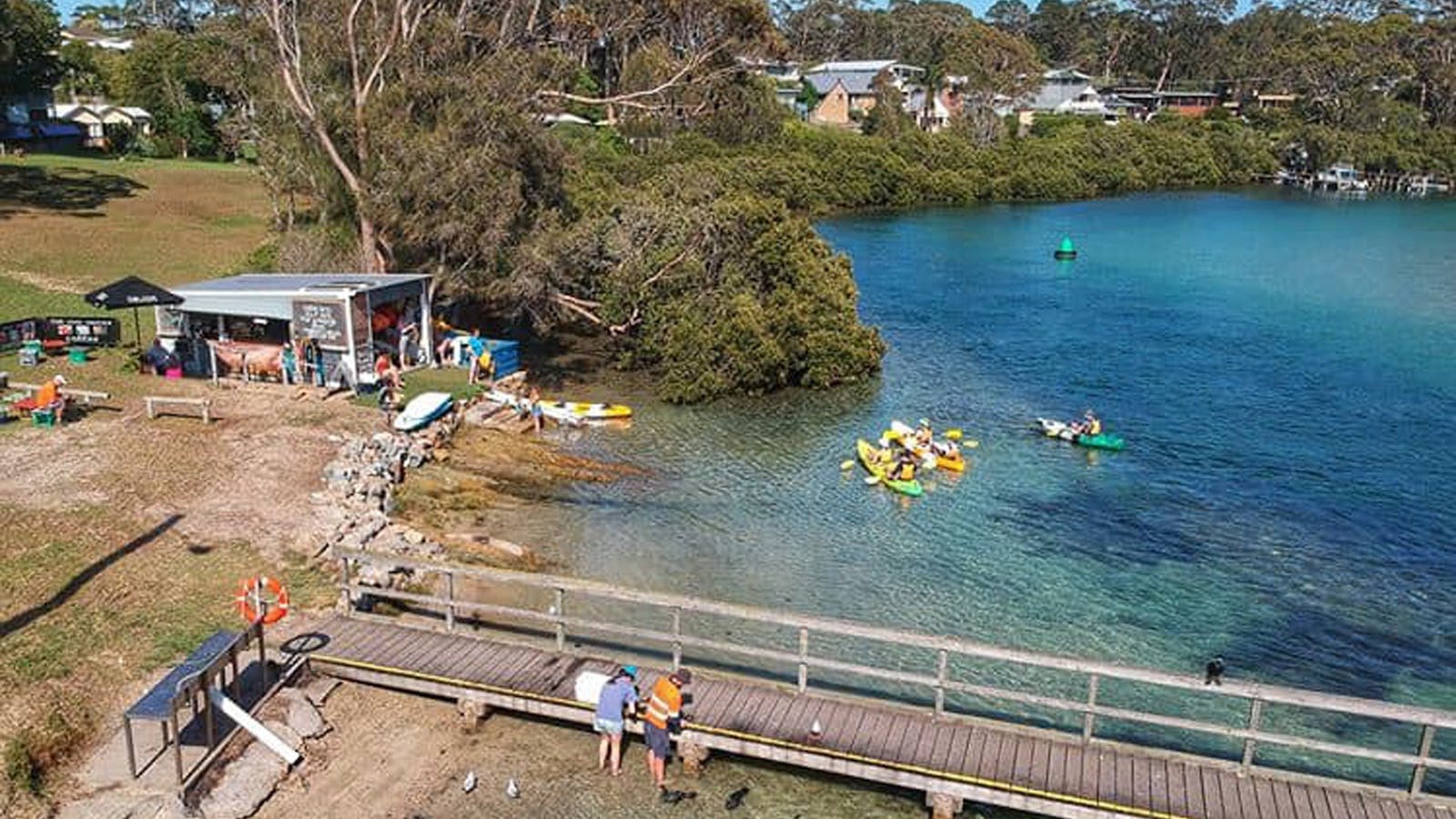
Down at the Boat Shed - Mossy Point, they are all about good vibes, great views and scratch-made, ethically conscious goods.

Down at the Boat Shed - Mossy Point, they are all about good vibes, great views and scratch-made, ethically conscious goods.
They've flipped this 1960s shed into an eclectic hub for water-based fun, local crafts, real food and seriously good coffee. Now an iconic meeting place for locals and visitors, community is at the heart of everything they do.
Find them open daily, next to the Mossy Point Boat Ramp. Come for the seriously good coffee, homemade cakes and slices, kayak and SUP hire, and locally designed crafts and apparel. Stay for the awesome views and atmosphere.
They're proudly single-use coffee cup free, so bring your own cup, or hang out for a while and use one of theirs.
8
Moruya Kayaking Trail - East

The Moruya Kayaking Trail passes through the historic town of Moruya. The trail is up to 38 kilometres, but is very flexible.
Open in mobile
Moruya, New South Wales, Australia, 2537
1800 802 528
info@eurobodalla.com.au
Free Entry
Public Toilet, Picnic Area
Picnic Area
Public Toilet
Birdwatching, Canoeing/Kayaking
Parking
Get Directions
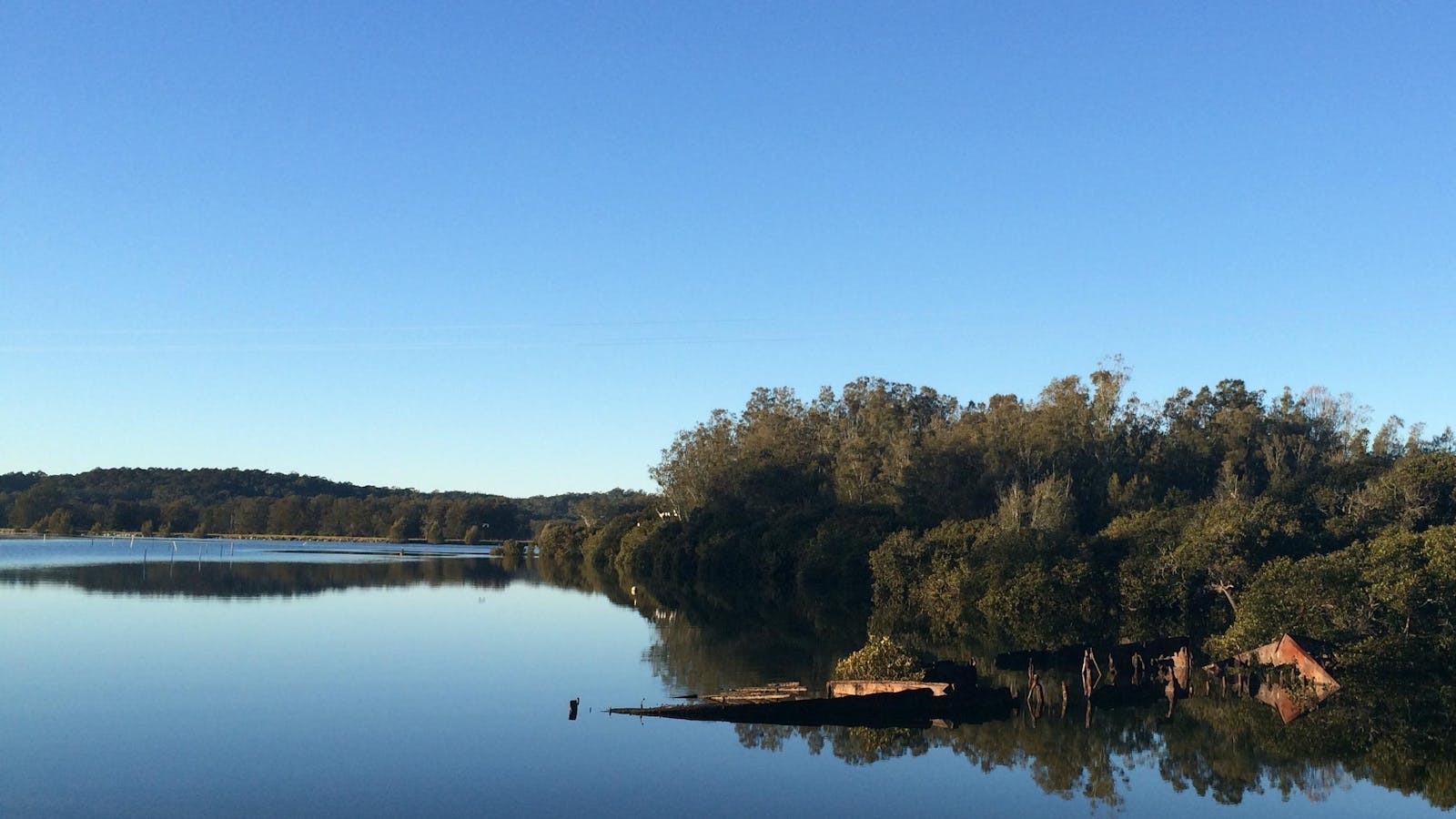
The region's rural heritage and unique granite is evident along the banks of this river which winds past the historic town of Moruya. For a 14 kilometre return trip launch into shallow water at North Head campground near the airport, or at the Moruya town boat ramp in Riverside Park, east of Moruya Bridge. Look out for mangrove forests along the way.
A short side trip at high-tide up Ryan's Creek, on the southern side of the river two kilometres east of Moruya Bridge, is worthwhile to see the mangroves and granite boulders in the water. Take the left fork at the junction.
Toilets are at North Head campground and both picnic tables and toilets are near the Moruya town boat ramp.

Sights & Activities

North Head Camping Area
Moruya, New South Wales, Australia, 2537
(02) 6123 9447
moruya@belgraviapro.com.au
Get Directions
10 rooms
Pets Allowed
Pets Allowed
Birdwatching, Boating, Camping, Canoeing/Kayaking, Cycling, Fishing, Scenic Drives, Scuba Diving, Snorkelling, Surfing, Swimming, Walks
$15 ~ $25 AUD*
* Subject to change and availability

The North Head Camping Area is situated on a peaceful section of bush near the airport and right on the beach.

The Moruya North Head Camping Area is situated on a peaceful section of bush near the airport and right on the beach. The area is fantastic for fishing in both the river and ocean, which is a great swimming, snorkelling and surfing spot. The Camping Area offers toilet and cold shower facilities, firewood, town water and provides night time security during peak periods to ensure the safety of both the occupants and the environment.
9
Moruya Kayaking Trail - West

Paddle 12kms west of Moruyawinding through farmland and forest up to the bridge on Araluen Road.

Open in mobile
Moruya, New South Wales, Australia, 2537
1800 802 528
info@eurobodalla.com.au
Birdwatching, Canoeing/Kayaking
Get Directions
Paddle 12 kilometres west of Moruya up to the bridge on Araluen Road by launching from the Moruya town boat ramp on the east side of Moruya Bridge.
The river winds through farming land and forest. Above the Araluen Road the course may become shallow. A short side trip up Womban Creek at high tide is interesting.
Further up, the main river changes its name to the Deua River and winds through the Deua River Valley. Access to the upper reaches of the river is dependent on water level and there are many obstructions, so checking maps and conditions is recommended.
10
Kayaking Coila Lake at Tuross Head

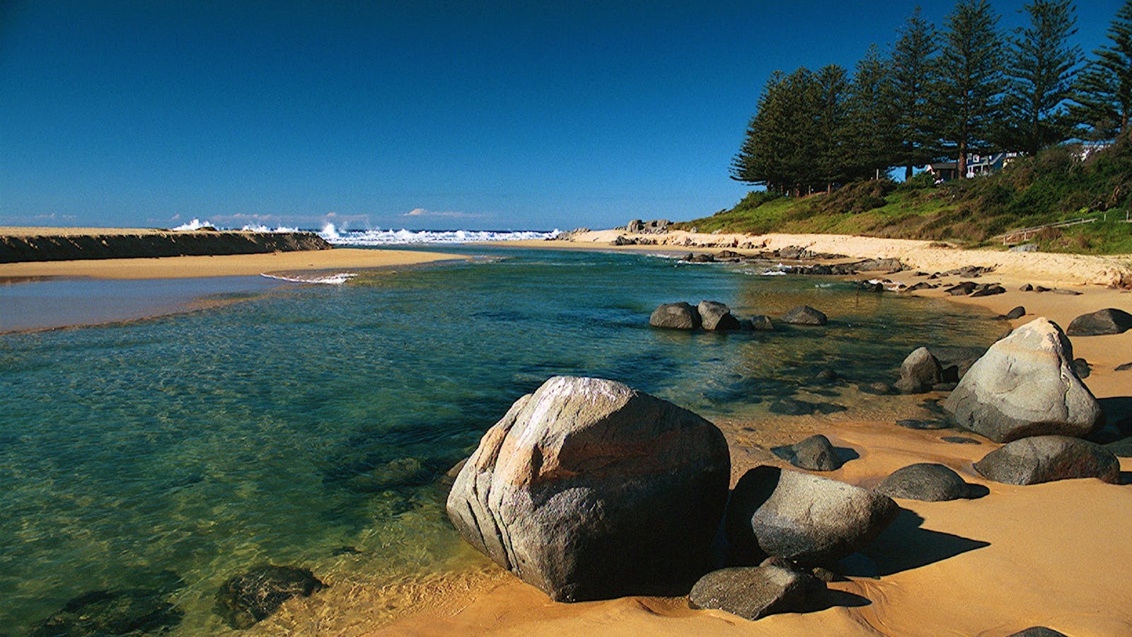
Paddle any distance, or up to 18.5 kilometres to circumnavigate the lake and under the highway bridge into Coila Creek at the northern end.
Open in mobile
Tuross Head, New South Wales, Australia, 2537
1800 802 528
info@eurobodalla.com.au
Get Directions
Paddle any distance, or up to 18.5 kilometres to circumnavigate the lake and under the highway bridge into Coila Creek at the northern end. Stay near the sheltered shores on windy days as it can get quite choppy.
An easy shallow launch opposite the Tuross Sport and Recreation Centre off Hector McWilliam Drive, Tuross Head, where you will find parking and a Barbecue/picnic area with a playground and toilets.

Sights & Activities

Tuross Head
Tuross Head, New South Wales, Australia, 2537
Get Directions
Birdwatching, Boating, Canoeing/Kayaking, Cycling, Fishing, Scenic Drives, Surfing, Swimming, Walks

Tuross Head is set on a low-lying headland perched between twin lakes, with stunning ocean beaches stretching north and south.

Tuross Head is a place many visitors never want to leave. Spend time here and you are bound to meet someone who has done just that.
Set on a low-lying headland perched between twin lakes, and with stunning ocean beaches stretching north and south, the small village is surrounded by magnificent waterways.
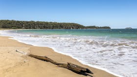
The beach area to the north of the inlet is sublime, with the water ranging from crystal clear to deep blue as it alternates the sandy depths and shallows. The beach here has a knack for attracting driftwood and it’s not unusual to find sun-bleached castaway-style shelters, or impromptu abstract art forms, crafted by other beachgoers.
Across the narrow inlet to the south, the long tapering sandbar that protects the lake becomes a wide beach forming the gateway to Eurobodalla National Park. A swim or kayak across the sparkling water to the sandbar, and time spent wading with the rays, fish and birds, is a life-affirming pleasure that lingers with you long after.
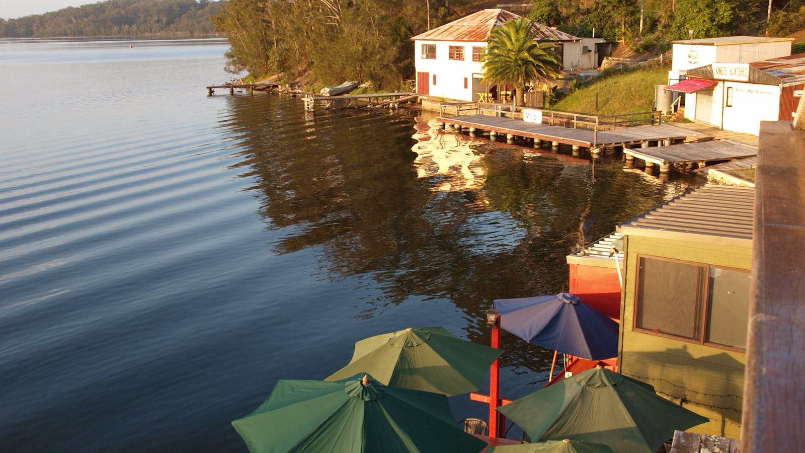
Not far from the inlet, on the calm waters of Tuross Lake, is the small but enchanting waterfront café area. Once the working boat sheds and wharf for the commercial fishery, the original timber building and dock are largely unchanged. It’s a special place, and almost unique in allowing you to tie your kayak or boat up right next to your table, or cast a line while having a coffee. A meal here at sunset, watching the water, earth and sky shift through the spectrum of colours, is particularly fine.
Tuross Lake here is renowned for large and plentiful flathead. Fed by the Tuross River, a network of natural channels provides hidden fishing holes, unexpected islands and sheltered picnic spots. On the opposite side of the peninsula, the smaller shallower Coila Lake is famous for large bream and small greenback prawns. Prawning, in season can be as simple as walking the shallows with a torch and scoop net, and is a relaxing and rewarding way to spend a summer evening with family and friends.
11
Kayaking Tuross Lake

All paddlers have plenty of kayaking options on this lavish lake scattered with estuaries and islands.
Open in mobile
Tuross Head, New South Wales, Australia, 2537
1800 802 528
info@eurobodalla.com.au
Free Entry
Public Toilet
Cafe
Public Toilet
Birdwatching, Canoeing/Kayaking, Fishing, Swimming
Parking
Get Directions
All paddlers have plenty of kayaking options on this lavish lake scattered with estuaries and islands. The prospect of catching a glimpse of local wildlife such as birds, kangaroos and even emus makes for an exciting paddle.
Launch into shallow water near the boat ramp on Nelson Parade or from Obrien's Boatshed on Nelson Parade, where kayaks and canoes can be hired. Route options include an 18 kilometre round trip north to Horse Island, then west up the estuary to and around Borang Lake, returning on the southern side of Horse Island. Another pleasurable two hour island paddle takes you south of Horse Island then around Cambathin Island, across to Deuaumba Island past the old bridge, returning to the launch point via the main channel.
A variety of waterfront cafes and restaurants are available alongside the landing spots, with picnic tables, toilets and a playground nearby.

Sights & Activities

Tuross Lake
Tuross Head, New South Wales, Australia, 2537
1800 802 528
info@eurobodalla.com.au
Get Directions
Free Entry
Birdwatching, Boating, Canoeing/Kayaking, Fishing, Sailing, Swimming

Tuross Lake offers plenty of paddling options for all levels of skill, in particular for beginner/novice paddlers. Soak up the magnificent surroundings as you explore.

Tuross Lake offers plenty of paddling options for all levels of skill, in particular for beginner/novice paddlers. Soak up the magnificent surrounds as you explore this generous lake with its protected places scattered with estuaries and islands. There is a wide variety of birdlife and wildlife to be seen, including kangaroos and emus.
Tuross Lake is part of an extensive lake and river system and is a haven for recreational fishing.
12
Kayaking Lower Tuross River and Borang Lake

This pleasant flatwater paddle takes you southwest across Tuross Lake and around the south side of Horse Island.

Open in mobile
Bodalla, New South Wales, Australia, 2545
1800 802 528
info@eurobodalla.com.au
Get Directions
This pleasant flatwater paddle takes you southwest across Tuross Lake and around the south side of Horse Island. Take a map and a compass with you to avoid too much-unplanned exploration.
There is easy access off Trafalgar Road / Nelson Parade at Lavender Bay, just west of the boat ramp. Ample free parking is available alongside the shallow sandy edge. Toilets and waterside cafes nearby.
After paddling under a small bridge turn left at the T junction to work your way around the southern tip of Cambanthin Island arriving at the Tuross River. Turn left at this T junction to paddle 300 metres up the Tuross River to the entrance to Borang lake on your left. Paddle across the Lake and return via the same route. The entrance to Borang Lake is shallow so this paddle is best undertaken on the high tide.
13
Kayaking Upper Tuross River and Bumbo Lake

For an 11.4 kilometre one-way trip, launch into shallow water at Snake Flat Reserve on Bumbo Road and paddle up river to Silo Farm Bridge.

Open in mobile
Bodalla, New South Wales, Australia, 2545
1800 802 528
info@eurobodalla.com.au
Get Directions
For an 11.4 kilometre one-way trip, launch into shallow water at Snake Flat Reserve on Bumbo Road and paddle up river to Silo Farm Bridge, Comerang Road, landing on the western side of the bridge. Check conditions, water levels and a map past Comerang Road as the river continues on for many kilometres and may be accessible with some rapids.
A shorter paddle from Snake Flat Reserve up the estuary and into Bumbo Lake is around 11 kilometres return if you circumnavigate the lake and explore Bumbo Creek.
To get to Snake Flat Reserve, turn west from the Princes Highway onto Bumbo Road. Travel 1km down Bumbo Road. A cattle grid and yellow "no camping" sign identifies the entrance to Snake Flat Reserve on your left. No facilities here but good cafes in Bodalla 3.7km drive further south on the Princes Highway.
14
Kayaking Wagonga Inlet at Narooma

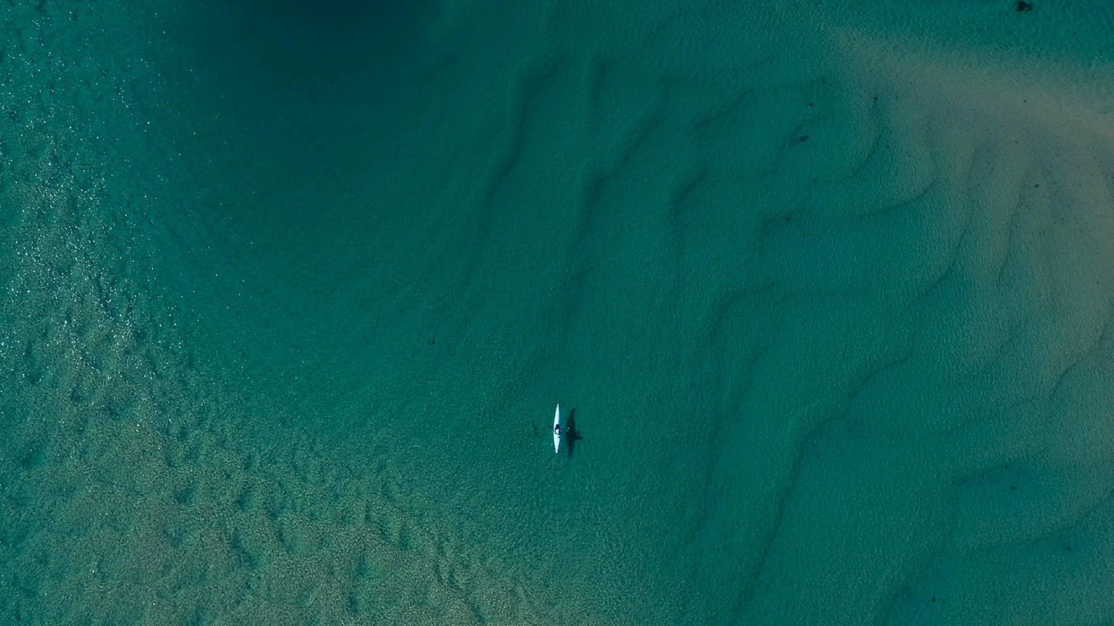
The crystal clear, sapphire waters of Wagonga Inlet are a pleasure to paddle with views of the town and old forest growth on the shoreline.
Open in mobile
Narooma, New South Wales, Australia, 2546
1800 802 528
info@eurobodalla.com.au
Free Entry
Public Toilet, Picnic Area
Picnic Area, Barbeque
Public Toilet
Canoeing/Kayaking, Fishing, Swimming
Parking
Get Directions
The crystal clear, sapphire waters of Wagonga Inlet are a pleasure to paddle with views of the town and old forest growth on the shoreline. Paddle to the upper part of the Inlet to visit the historic cemetery and see the extensive oyster farms. Landing is possible next to the pontoon. Launch from Old Punt boat ramp next to the highway on the south side of Narooma Bridge, or take off near the cafes, restaurants and foreshore park along Riverside Drive where you can hire a kayak.
There is a barbecue/picnic area and playground available. Once you get out on the water the possibilities are endless with such a big expanse of water. Open kayaks and canoes should stay close to the water's edge as the vast area of water can be choppy on windy days. For more sheltered paddling head to Forsters Bay.

Sights & Activities

Narooma Marina
Narooma, New South Wales, Australia, 2546
0448 773 414
info@naroomamarina.com.au
Get Directions
Accessible
Pets Allowed
Pets Allowed
$25 ~ $350 AUD*
Parking
Accessible
* Canoe, Kayak, Pedal Boat Hire 1st Hour AUD45 Extra Hour AUD35 Stand Up Paddle Board Hire 1st Hour AUD30 Extra Hour AUD25 BBQ Boat First 3 Hours AUD350 Extra Hour AUD85 Fishing Boat 4-Seater 2 Hours Hire AUD130 (5-seater +$30) Per Hour thereafter AUD45 Full Day (6hrs) AUD270 (5-seater +$30)

Narooma Marina is a full service Marina located in Forsters Bay in the heart of Narooma. They offer boat and water sport equipment hire.

Narooma Marina is a full-service Marina located in Forsters Bay in the heart of Narooma. They offer boat and water sports equipment hire and cater for all your fishing and boating needs.
The barbecue boats are licensed for up to 12 people and come equipped with a toilet, handbasin and Bluetooth connectivity. All barbecue tools are supplied as well as safety gear.
Fishing boats are available and come equipped with Biminis (sunshades). Boats are licensed for up to five people. All safety gear is supplied. No boat licence is required.
Narooma Marina also offers water sports hire. Their Canoes, Kayaks and Stand-up Paddle Boards ensure there’s a way for everyone to enjoy time on the water.
Mooring and berths are available for permanent, temporary and commercial swing moorings to accommodate any length of stay. All moorings have 24-hour security surveillance with power and freshwater access available.
Eat, drink and relax at Fosters Bay - Salt of the Coast is now open and serving some great food and coffee. Why not sit back and relax on the Marina main deck and enjoy your coffee before heading out on the water?
15
Kayaking Corunna Lake

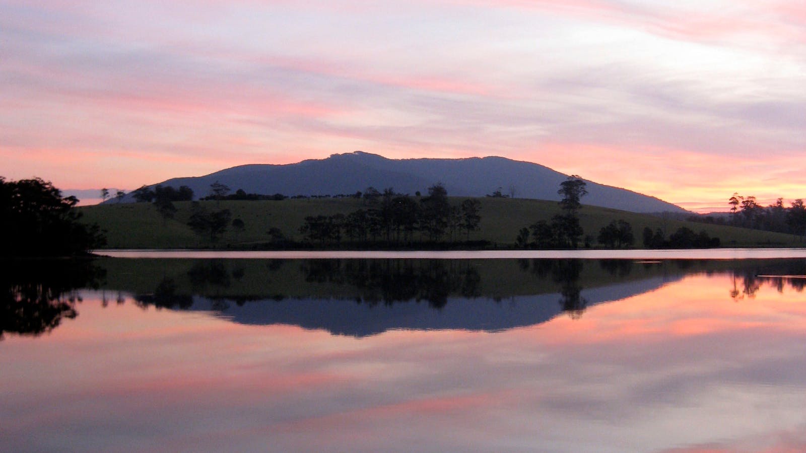
An enjoyable paddle on a picturesque lake with an easy, sandy launch near the boat ramp at the northern end of the lake.
Open in mobile
Corunna, New South Wales, Australia, 2546
1800 802 528
info@eurobodalla.com.au
Canoeing/Kayaking
Get Directions
An enjoyable paddle on a picturesque lake with an easy, sandy launch near the boat ramp at the northern end of the lake. From here you can fill a few hours exploring the little bays including passing under the highway bridge down to the ocean entrance of the lake. Or make a lunch of it and paddle across to Tilba Valley Winery for a meal and live music (phone to confirm) at the south end of the lake, up to 12 kilometres return trip.
Land in shallow water and walk along a dirt road, 600 metres up the hill to the winery. You can see it from the water. Barbecue/picnic area and toilets are at Corunna Lake. Turn west off the Princes Highway, seven kilometres south of Narooma.
Corunna picnic area
Corunna, New South Wales, Australia, 2546
1300 072 757
parks.info@environment.nsw.gov.au
Get Directions
Picnic Area
Picnic Area
Canoeing/Kayaking, Sailing, Swimming

Corunna picnic area is a popular spot among locals and it’s easy to see why. Set among trees in a small clearing by Corunna Lake,
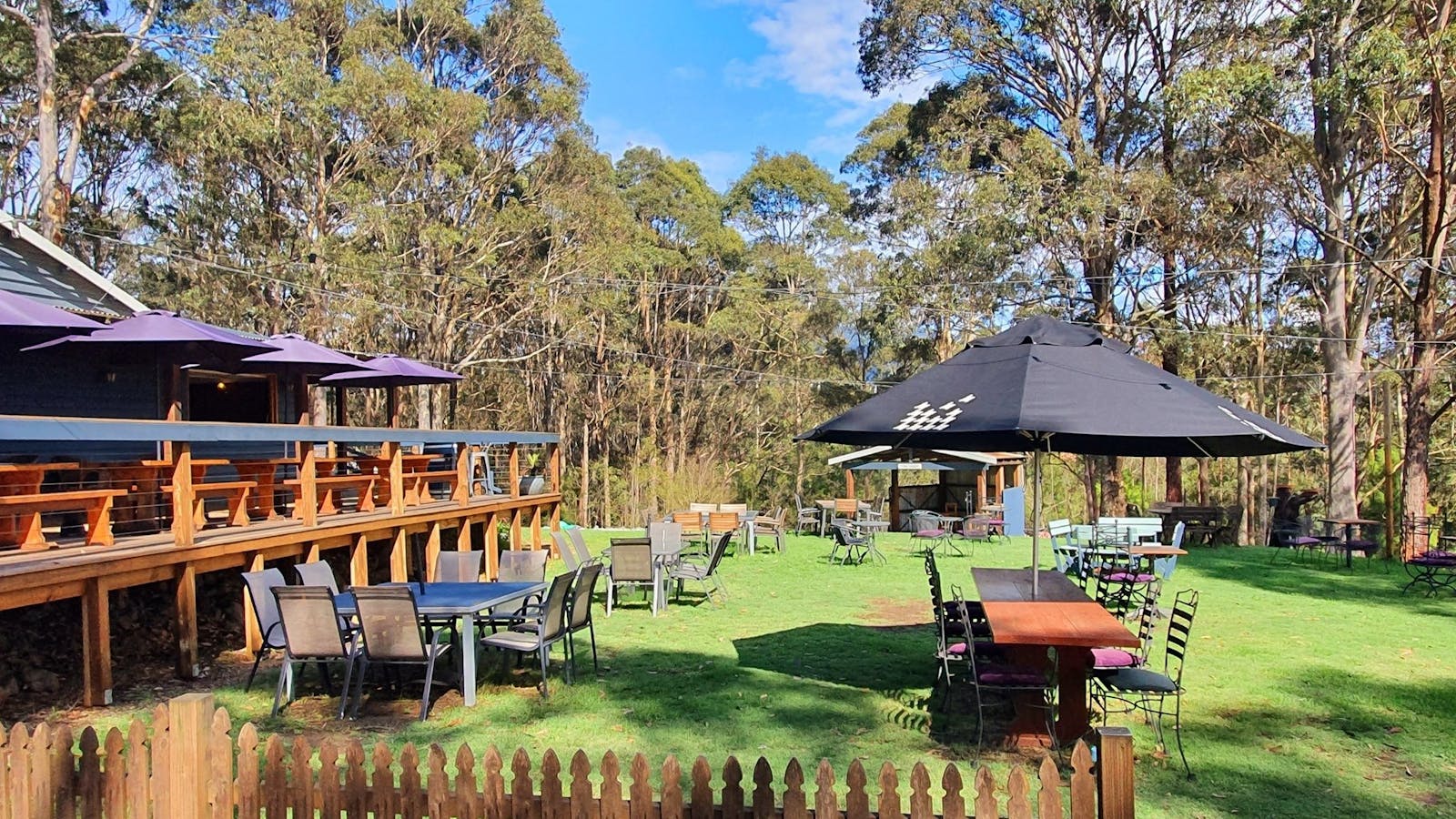
Corunna picnic area is a popular spot among locals and it’s easy to see why.
Set among trees in a small clearing by Corunna Lake, the picnic area features tables and barbecues that look out on to the scenic lake and lush green hills behind it.
The calm water provides a good spot for some paddling and waterskiing. There’s a boat ramp at the northern end of the picnic area where you can take your boat out for the day to relax or go fishing.
Tilba Valley Winery & Alehouse
1
Corunna, New South Wales, Australia, 2546
(02) 4473 7308
info@tilbavalley.com.au
Get Directions
Accessible, Ambulant Access, Wheelchair Access
Pets Allowed, Ambulant Access, Non-smoking, Outdoor Dining, Delivery Available
Bar, Beer, Cheese / Charcuterie / Platters, Classic Australian, Gourmet, Hamburgers, Healthy Food, Light Meals, Modern Italian, Native Australian, Pub, Seafood, Seasonal Local Produce, Share Plates, Vegan, Vegetarian, Wine, Wine Bar, Lunch, Delivery Available, Takeaway, Waterside Dining
Pets Allowed
Entertainment, Live Music
Parking, Coach Parking
Accessible, Ambulant Access, Wheelchair Access, Accessible for Hearing Impairment, Caters for people who are blind or have vision loss. Caters for people who are deaf or have hearing loss. Caters for people with sufficient mobility to climb a few steps but who would benefit from fixtures to aid balance. (This includes people using walking frames and mobility aids) Caters for people who use a wheelchair. Welcomes and assists people who have challenges with learning, communication, understanding and behaviour. (includes people with autism, intellectual disability, Down syndrome, acquired brain injury (ABI), dyslexia and dementia) Caters for people with allergies and intolerances.

Tilba Valley Winery and Alehouse is a family run boutique winery/brewery scenically located at the foothills of Mt Gulaga.

Tilba Valley Winery and Alehouse is a family-run boutique winery/brewery scenically located at the foothills of Mt Gulaga (Mount Dromedary) on the shores of the beautiful Corunna Lake on the NSW South Coast. Just a few minutes drive from Central Tilba and about ten minutes from the picturesque holiday town of Narooma.
Taste their selection of wines made on site which include Sauvignon Blanc, Organic Verdelho, Rose, Unwooded Chardonnay, Shiraz, Cabernet Sauvignon and delicious famous Tilba Tawny. All their wines are always available at the Cellar Door.
Tilba Valley also has an onsite brewery producing ales, lagers, and ciders for your enjoyment whilst at the venue with takeaway options also available.
Enjoy the imaginative lunch menu including the famous Ploughman's lunch, homemade chicken pies, local fish, steaks, vegetarian options and daily specials.
There is free live music held every Saturday and Sunday from 12.30. They also do night events such as touring bands, themed nights, comedy, outdoor cinema and functions. Keep an eye on their website and Facebook/Instagram for upcoming events.
The perfect wedding, function or corporate event venue.
16
Kayaking Mystery Bay to Narooma

An exciting sea paddle for experienced ocean kayakers, with an easy launch and surf beach landing.

Open in mobile
Mystery Bay, New South Wales, Australia, 2546
1800 802 528
info@eurobodalla.com.au
Canoeing/Kayaking
Get Directions
An exciting sea paddle for experienced ocean kayakers, with an easy launch and surf beach landing. The trip is exposed to prevailing onshore breezes.
Launch from Mystery Bay at the end of Mystery Bay Road, and head north past a series of small headlands and beaches to the mouth of Corunna Lake, then past Loaders and Fullers Beaches which face south east. These are both long beaches with large surf breaks. Head around rocky outcrops at Bogola Head (a fun place to play in gentle seas but worth avoiding in larger seas), then up to Burunga Point and Handkerchief Beach.
As you round Glasshouse Rocks you see Narooma Beach and the main Narooma headland. Once around the headland stay a reasonable distance offshore as you pass the bar of Wagonga Inlet. The landing is north of the breakwater at Bar Beach, immediately north of Narooma bar. The bar is hazardous and should only be attempted with previous knowledge and low seas with an incoming tide.
Primitive camping ground, toilets and Barbecue/picnic area are at Mystery Bay. Barbecue/picnic area, toilets and playground are nearby at Apex Park, North Narooma.
Handkerchief Beach Picnic Area
Narooma, New South Wales, Australia, 2546
1800 802 528
info@eurobodalla.com.au
Get Directions
Free Entry
Public Toilet, Picnic Area
Picnic Area
Public Toilet
Birdwatching, Scenic Drives, Walks
Parking

This idyllic picnic area is located at the southern end of Handkerchief Beach.

This idyllic picnic area is located at the southern end of Handkerchief Beach. Bring along a picnic lunch and enjoy after a refreshing swim or scenic walk along the beach.
To access follow the Princes Highway south of Narooma and take the first turn left after Island View Beach Resort. Follow the dirt track until you reach the picnic area. Toilet facilities available.
Mystery Bay
Mystery Bay, New South Wales, Australia, 2546
Get Directions

The crystal-clear water, rock pools, caves and sandy beaches make this small yet stunning hamlet a must to explore.

The small seaside hamlet of Mystery Bay is 15 kilometres south of Narooma. It is a quiet, geologically interesting and scenically stunning location. Visitors enjoy exploring rock pools, caves and expansive sandy beaches. The exceptionally clear water is perfect for swimming, diving and fishing.
The primitive campground is perfectly set within the coastal forest, adding to the sense of blissful isolation. Walking tracks, a look out, historical information (Aboriginal and European) and a perfect geological example of a kink zone combine to make this a fascinating destination.

Using QR Codes

Open your Camera App or download a QR reader

Point your camera at the QR Code which will launch the correct app

Access websites and features such as maps and directions

Optional Downloads

GPX File

For use in apps such as GPS Navigation and wearable devices

KML File

For use in offline mapping products, such as maps.me and Google Maps

PDF File

A link to this document

Build your own itineraries

Alpaca provides a way for you to build your own itineraries. Visit https://alpaca.travel

Terms of Service and Attribution

Copyright Alpaca.travel, Mapbox.com and OpenStreetMaps openstreetmaps.com.
Terms of Service https://alpaca.travel/terms