
Details
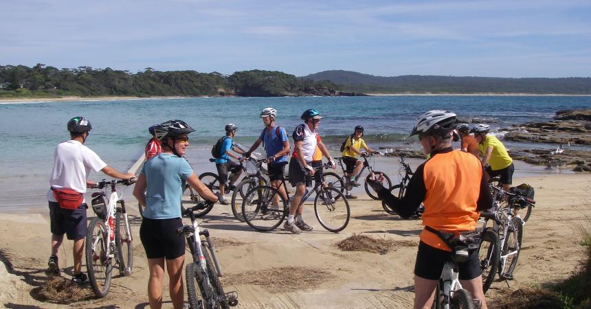
Eurobodalla is a cycle friendly destination where you can immerse yourself in nature with an extensive range of paths and cycle routes.

Tuross Head Foreshore, 12km return easy ride. Suitable for road bikes and family friendly.


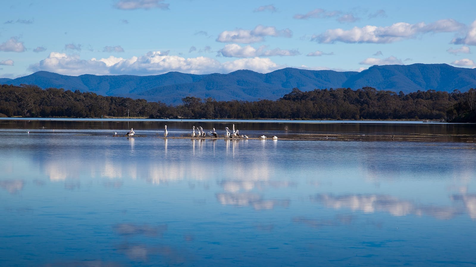
Tuross Lake offers plenty of paddling options for all levels of skill, in particular for beginner/novice paddlers. Soak up the magnificent surroundings as you explore.


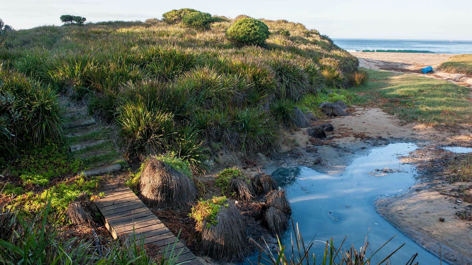
Tuross Head is set on a low-lying headland perched between twin lakes, with stunning ocean beaches stretching north and south.
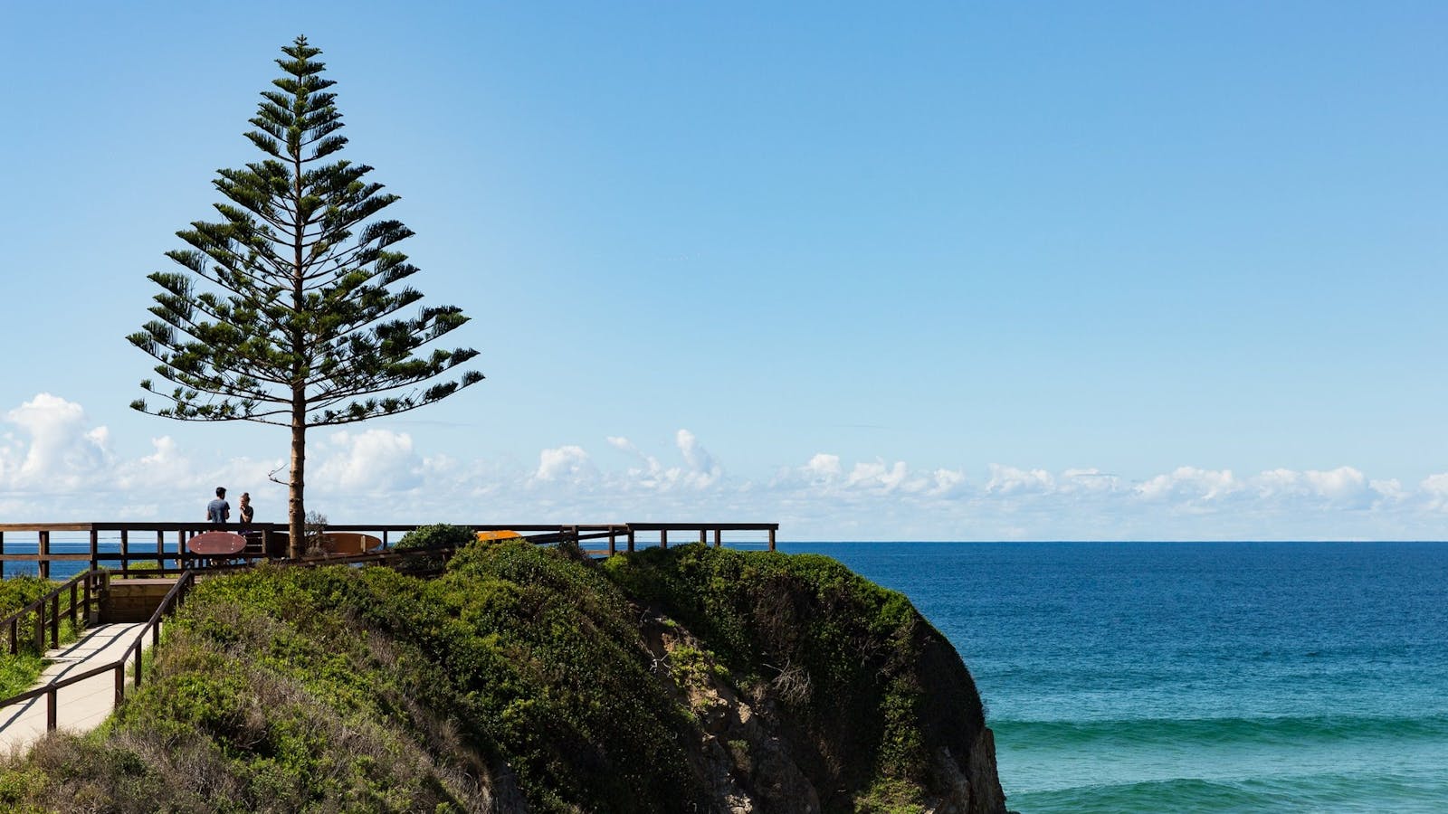

A paved path leads to a lone Norfolk Island Pine, marking the Tuross headland lookout with glorious ocean views.
South Durras to Murramarang National Park, 24km easy to moderate ride. Suitable for mountain bikes or hybrids.


Sights & Activities


Rich forests, secluded beaches and imposing ancient headlands form South Durras and renowned for its abundance of wildlife such as kangaroos, wallabies, echidna and possums.

Wander along a short and easy walking track and within a few steps you’ll arrive at the secluded beauty of Richmond Beach. Ideal for families,


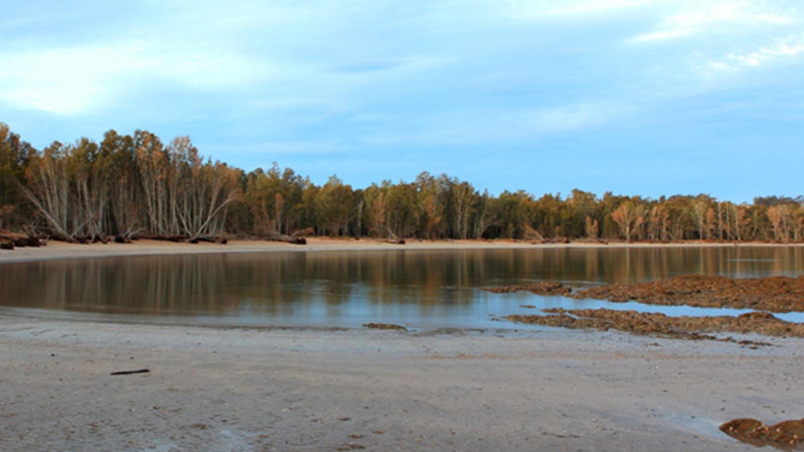
Enjoy a relaxing day away on this remote beach in Murramarang National Park, on the South Coast. Dark Beach walking track leads through spotted gum.


A great off the beaten track hike, Oaky Beach walking track leads through gums and rainforest to a secluded beach in the south.


Honeysuckle Beach walking track is a great short hike in the southern end of Murramarang National Park, just north of Batemans Bay.


Get away from it all and escape to this beautiful, isolated beach for the day. Surround yourself with natural bushland and revel in the sounds.


If you enjoy a remote spot for a relaxing lunch, then head to the Wasp Head picnic area near South Durras in Murramarang National Park.


This short, scenic walk in Murramarang National Park, south of Durras Lake, is a delightful easy walk taking in coastal views and golden beaches.


With spectacular beach views you will be sure to spot one of the many eastern grey kangaroos basking in the sun.


This remote bush camp spot is ideal for the adventurous campers who like to get away from it all.
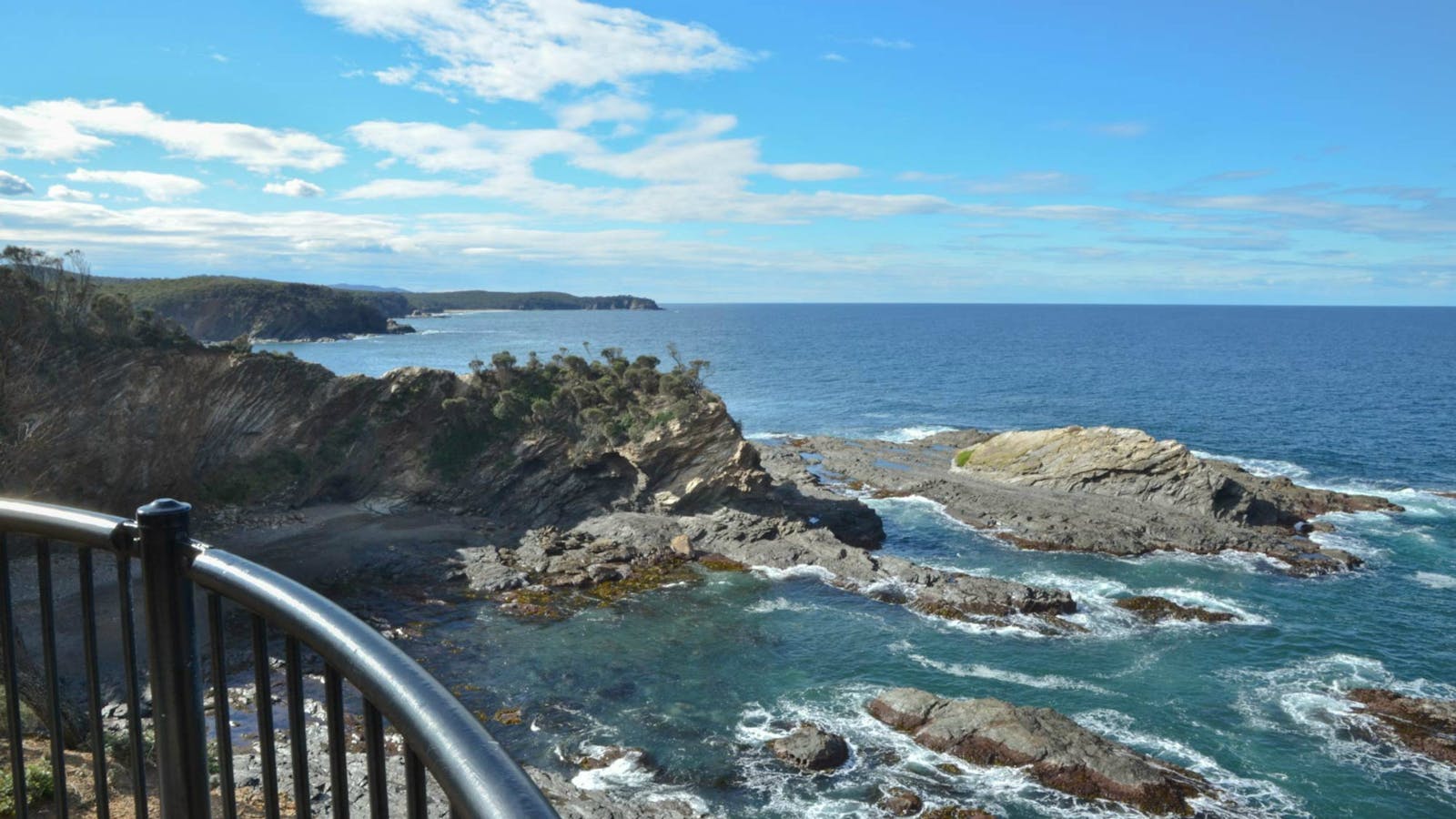

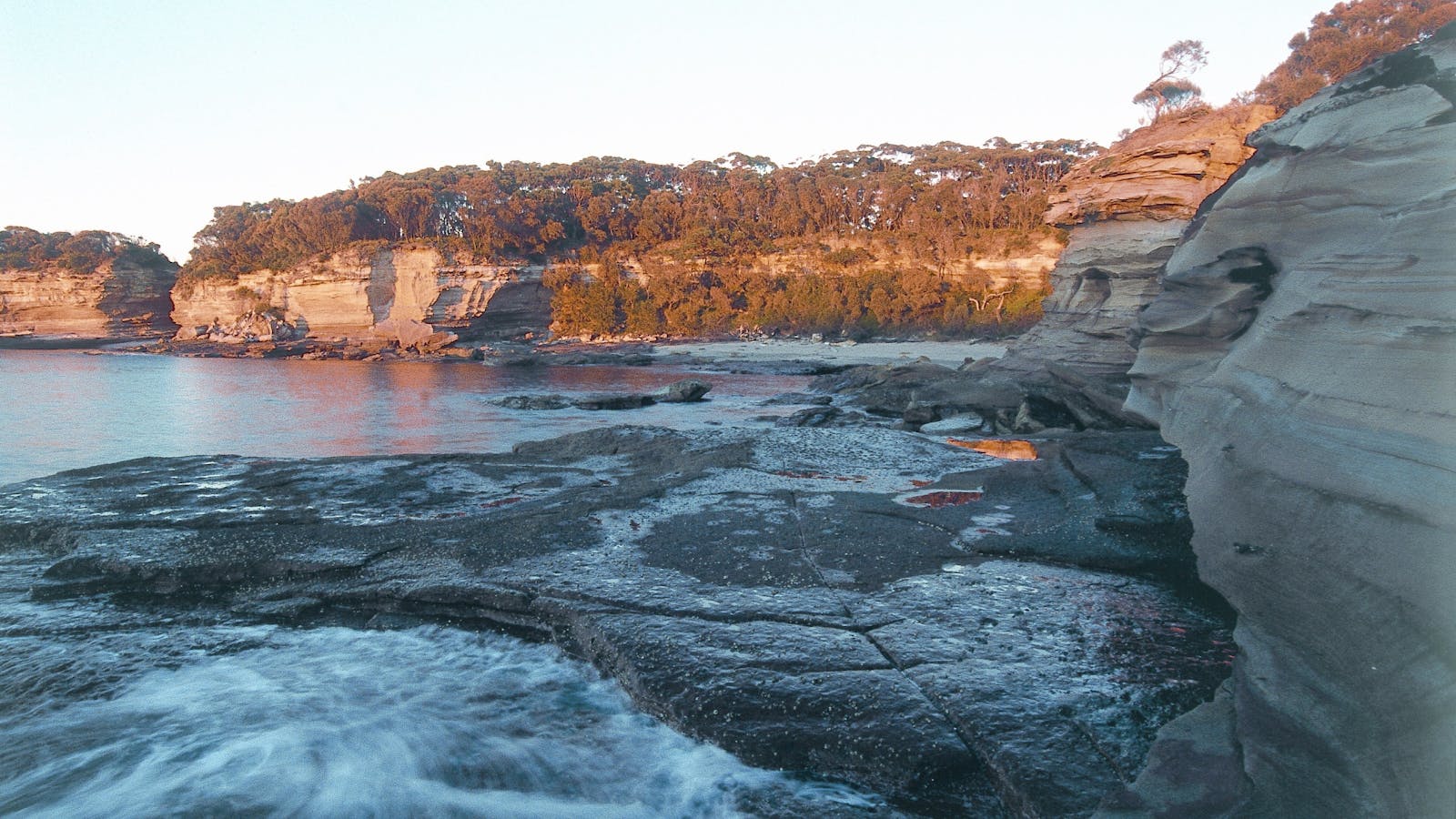
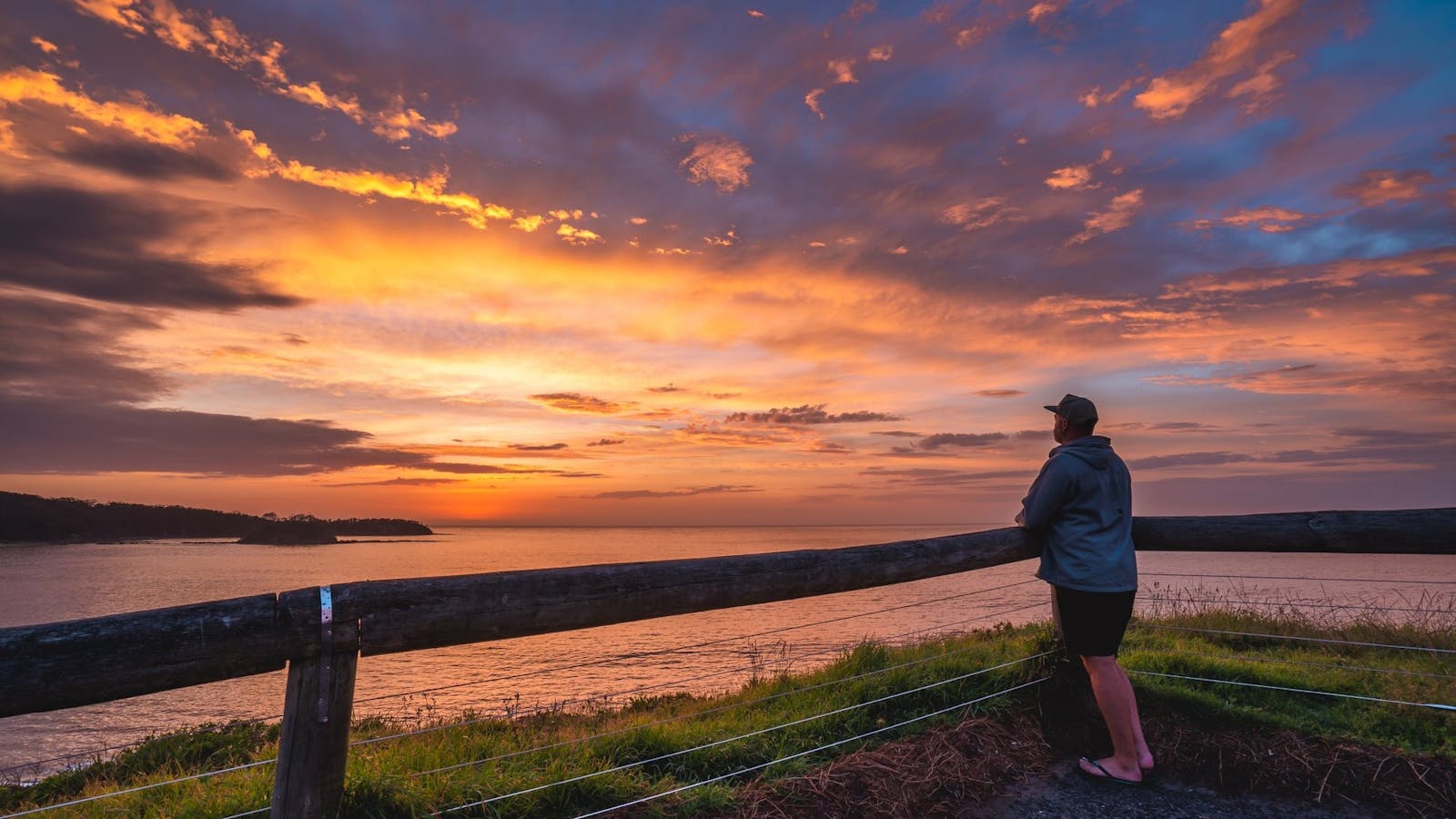
The spectacular cliffs along the Murramarang coastline are on fine display from North Head lookout. After following a well-formed track for 300 metres over gently
Batemans Bay to Cullendulla wetlands, 18km easy family friendly ride. Suitable for mountain bikes and hybrids.


Sights & Activities


Batemans Bay is beautiful, but it also has a hidden trump card up its sleeve; Cullendulla Creek Nature Reserve.


A seaside walk past beautiful sculptures and bayside vistas. Batemans Bay Sculpture Walk was created from the acquisitive award winning sculptures.
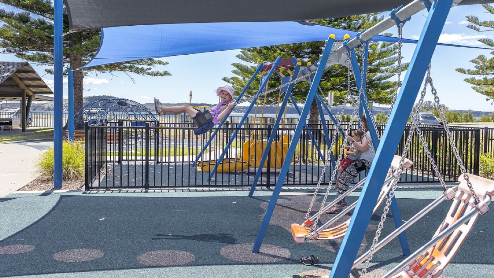

The reserve and playground is set on the calm bay of Corrigans Beach, at Batehaven, just 4 kilometres south of Batemans Bay.


Right beside Cullendulla Beach, the Mangrove walk is the only one of its kind in the entire area. Raised boardwalks thread through the marine park.

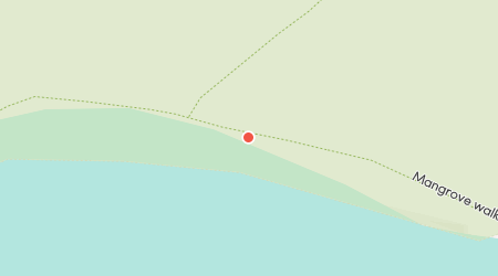
Just an easy walk along a beautiful boardwalk, Cullendulla Beach has pride of place in the nature reserve, right at the mouth of the creek.
Batemans Bay to Moruya via Coast Road, 71km return moderate ride. Suitable for road bikes and experienced riders.
 ECT.jpg)

Sights & Activities


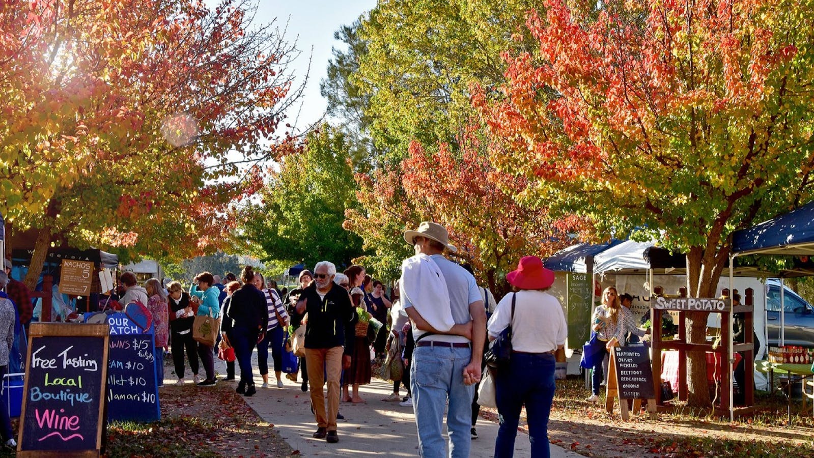

The Moruya Country Market is a vibrant market held every Saturday morning on the banks of the stunning Moruya River.

Moruya is a lovely inland town on the Eurobodalla coast. It's a great base for exploring the surrounding coastline with its bays, beaches and headlands.


The lookout is a charming 10 minute walk from the carpark on Burri Point


Burrewarra Point has a charming walk through a mature banksia forest with views of the coast and hinterland.


The four kilometre Broulee Island Walk begins south of the main beach at Broulee, across a permanent sand bar.


Take in the beautiful views over Tomakin, Mossy Point and Broulee from the Mossy Point Anchor Lookout.

Melville Point, also known as “Burying Point” and “Gravehead” due to the early settler cemetery there, has beautiful sweeping coastal views.


McKenzies Beach is a small, beautiful, undeveloped beach, popular with locals and visitors alike.

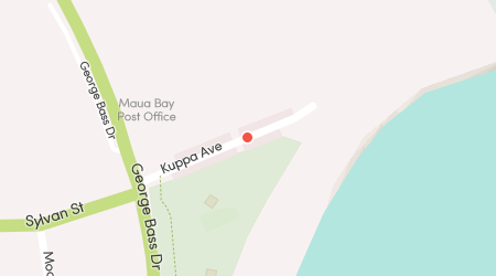
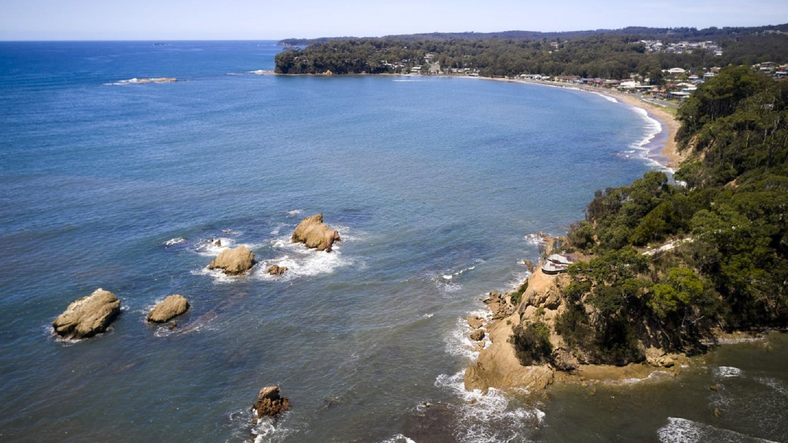
Drive 13kms south-east from Batemans Bay town, and you will find beautiful Malua Bay.


Just a short 10 minute drive south of Batemans Bay central business district, Surf Beach Batemans Bay is very popular with both locals and visitors.

Located at Batehaven, Observation Point is a lookout and picnic area with fabulous views overlooking the beach out to the beautiful Snapper Island.
The reserve and playground is set on the calm bay of Corrigans Beach, at Batehaven, just 4 kilometres south of Batemans Bay.
Mogo State Forest, 14km moderate ride, reasonable level of fitness required. Suitable for mountain bikes.


Sights & Activities


The former gold rush village has developed that certain something – an authentic but quirky mix of history, art, food, shopping and outdoor adventure.
Broulee to Moruya Airport return via Mossy Point, 20km return easy ride. Suitable for mountain bikes and hybrids.


Sights & Activities
Take in the beautiful views over Tomakin, Mossy Point and Broulee from the Mossy Point Anchor Lookout.
The four kilometre Broulee Island Walk begins south of the main beach at Broulee, across a permanent sand bar.
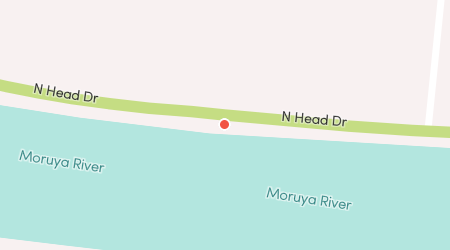
Moruya to South Head, 16km return easy ride. Suitable for road bikes except extension to Congo Creek.

Sights & Activities


Shelly Beach at Moruya Heads is a popular family recreational spot with picnic facilities at the mouth of the Moruya River.


South Head Moruya holds an old graveyard on the headland - a glimpse into the past with far-reaching views of the coast.
Moruya is a lovely inland town on the Eurobodalla coast. It's a great base for exploring the surrounding coastline with its bays, beaches and headlands.
Moruya to Araluen, 60km moderate ride, reasonable level of fitness required. Suitable for mountain bikes and hybrids.


Sights & Activities


Positioned along Araluen Road in Deua National Park, Deua River campgrounds are great places to camp, picnic, swim and birdwatch.
Moruya is a lovely inland town on the Eurobodalla coast. It's a great base for exploring the surrounding coastline with its bays, beaches and headlands.
Bodalla to Reedy Creek, 50km return moderate ride, reasonable level of fitness required. Suitable for mountain bikes or hybrids.


Sights & Activities


Lush green countryside, heritage architecture and cheese making are the hallmarks of this 150-year-old dairy village.
Tuross Lake offers plenty of paddling options for all levels of skill, in particular for beginner/novice paddlers. Soak up the magnificent surroundings as you explore.
Narooma to Dalmeny, 21km return easy ride. Suitable for road bikes.


Sights & Activities


Kianga is a tiny village with spectacular views over the Tasman Sea and Montague Island.


If you are looking for that perfect picnic area then look no further. Sit back and take in the stunning views of the Wagonga Inlet.


Along the scenic Mill Bay Boardwalk, gaze out on the beautiful emerald water and see that it is teeming with life.


Dalmeny Campground is one of the most relaxed and beautiful campgrounds on Australia’s east coast, great for family holidays or just a quiet weekend away.


Narooma, derived from the Yuin term for ‘clear blue water’, seems fit to describe the vibrant hues of the iconic waterways surrounding the town.
Wagonga Inlet Scenic Route, 39km moderate to hard ride. Suitable for mountain bikes and hybrids.


Sights & Activities
If you are looking for that perfect picnic area then look no further. Sit back and take in the stunning views of the Wagonga Inlet.
Along the scenic Mill Bay Boardwalk, gaze out on the beautiful emerald water and see that it is teeming with life.
Dalmeny Campground is one of the most relaxed and beautiful campgrounds on Australia’s east coast, great for family holidays or just a quiet weekend away.
Narooma, derived from the Yuin term for ‘clear blue water’, seems fit to describe the vibrant hues of the iconic waterways surrounding the town.
Narooma to Mystery Bay, 30km return moderate, reasonable level of fitness required. Suitable for mountain bikes and hybrids.


Sights & Activities


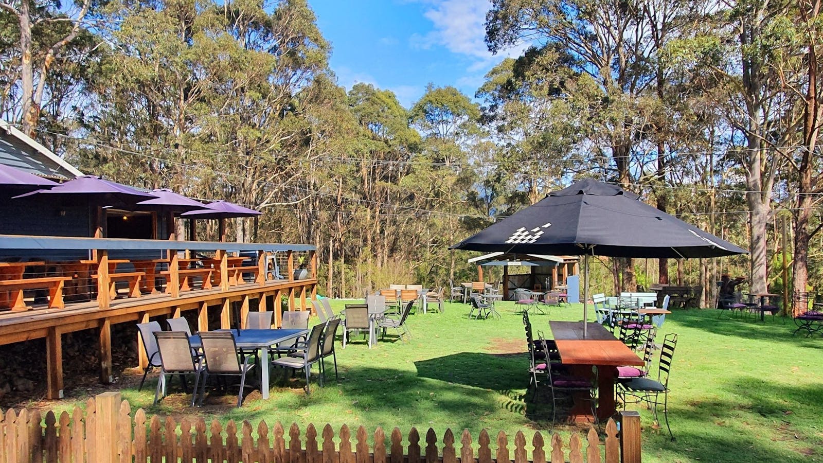

Tilba Valley Winery and Alehouse is a family run boutique winery/brewery scenically located at the foothills of Mt Gulaga.

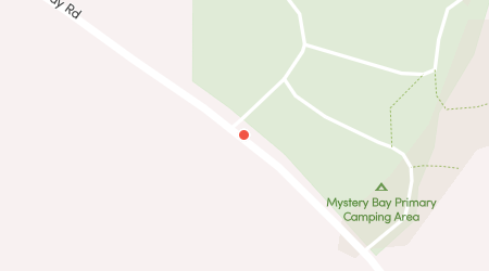
Mystery Bay campground fronts the ocean and is one of the few natural camping areas remaining on the New South Wales South Coast.

A scenic track takes you on a loop from Mystery Bay, through the camping ground, and to the historic Velodrome.
Narooma to Central Tilba, 39km return moderate reasonable level of fitness required. Suitable for mountain bikes and hybrids.


Sights & Activities


Narooma, derived from the Yuin term for ‘clear blue water’, seems fit to describe the vibrant hues of the iconic waterways surrounding the town.


Take the five minute walk from Station Street in Central Tilba for a rewarding panoramic view of the town, surrounding region and Montague Island.


The Tilba Conservation Area was listed by the National Trust in 1974. Gulaga, formerly Mt Dromedary, is sacred to the people of the Yuin nation.
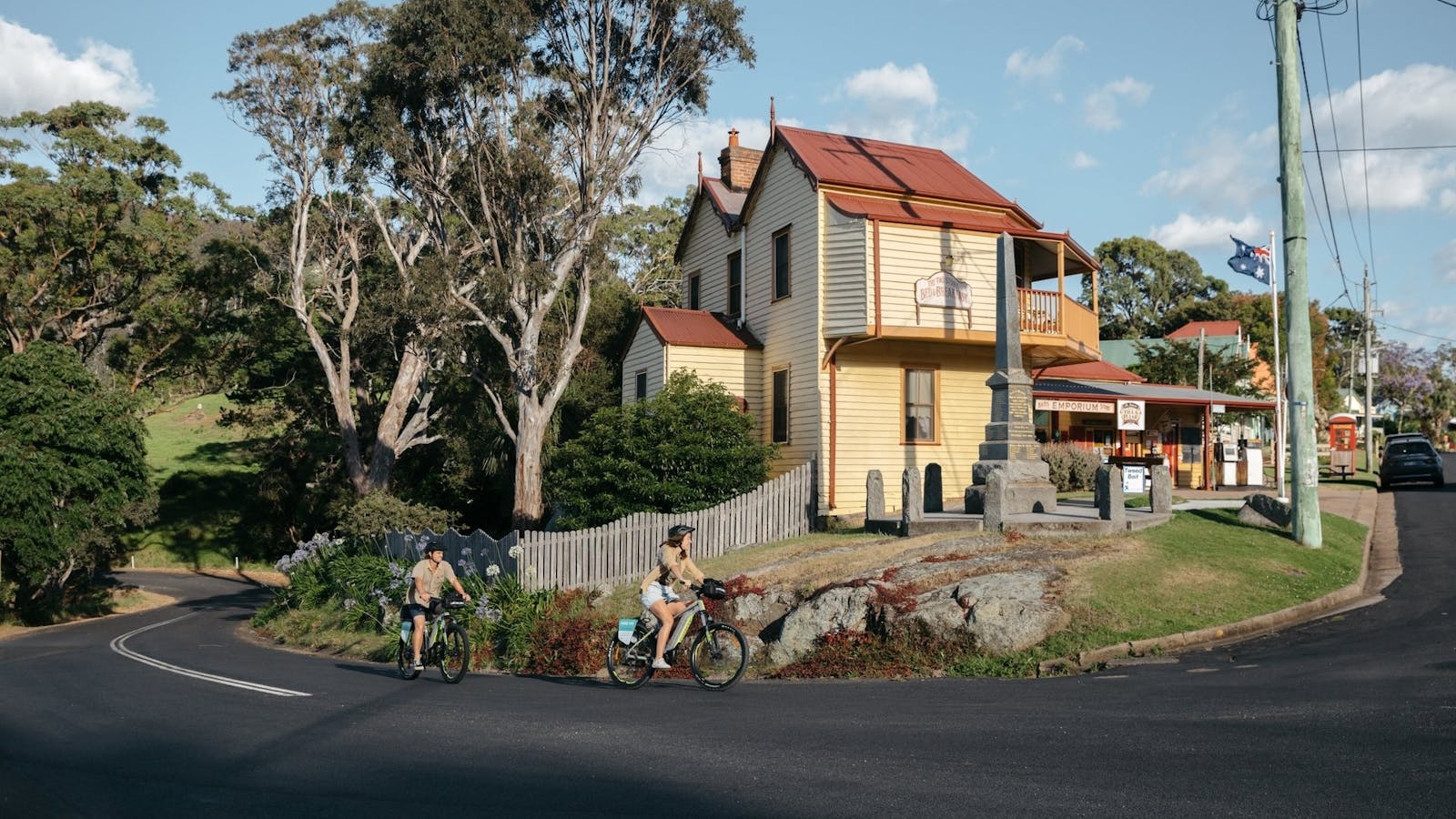
Central Tilba is an historic clutch of weatherboard buildings perched on a rippling green ridge, below Gulaga Mountain.
Using QR Codes
Open your Camera App or download a QR reader
Point your camera at the QR Code which will launch the correct app
Access websites and features such as maps and directions
Optional Downloads
GPX File
For use in apps such as GPS Navigation and wearable devices
KML File
For use in offline mapping products, such as maps.me and Google Maps
PDF File
A link to this document
Build your own itineraries
Alpaca provides a way for you to build your own itineraries. Visit https://alpaca.travel
Terms of Service and Attribution
Copyright Alpaca.travel, Mapbox.com and OpenStreetMaps
openstreetmaps.com.
Terms of Service
https://alpaca.travel/terms