
Details
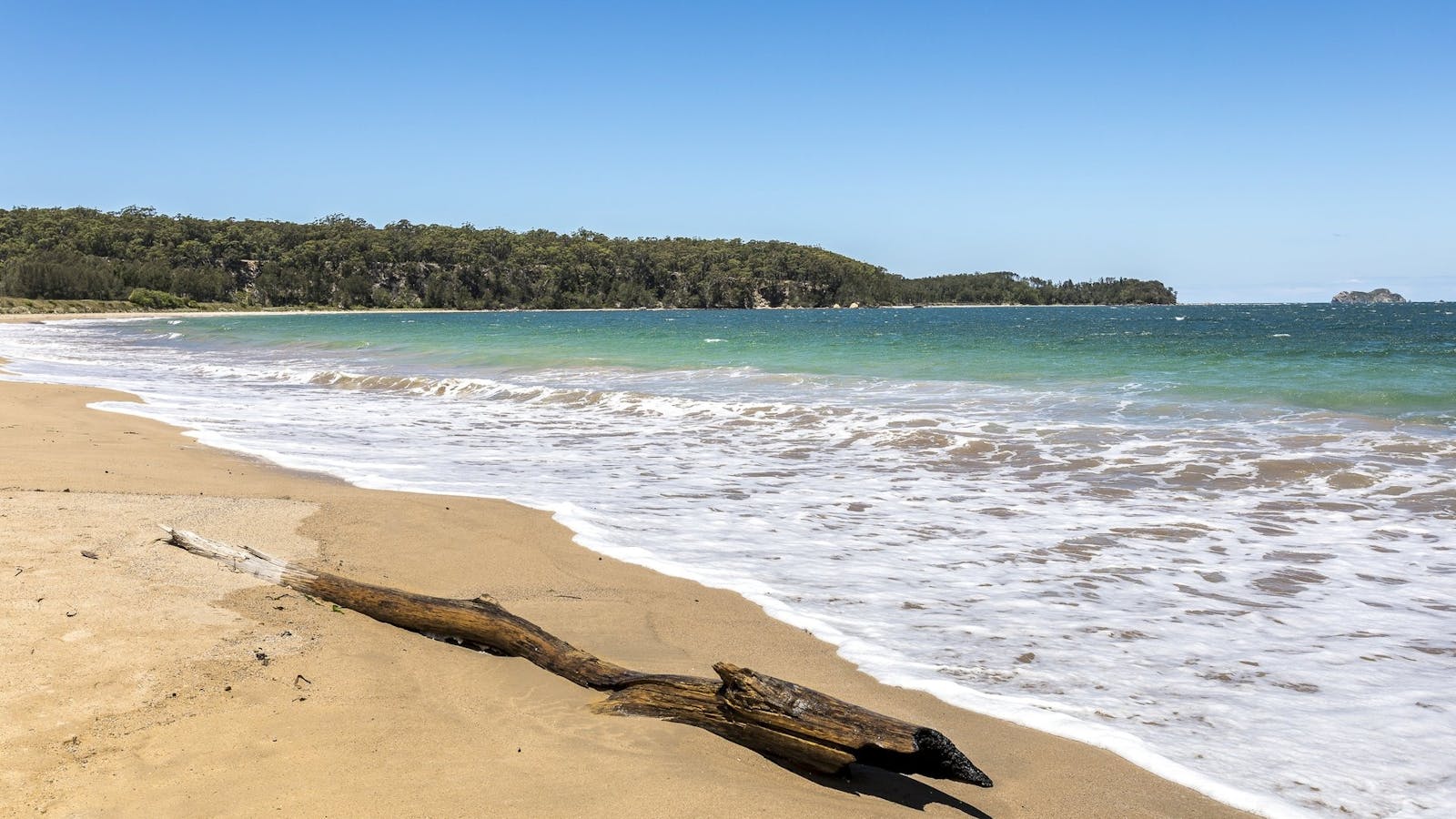
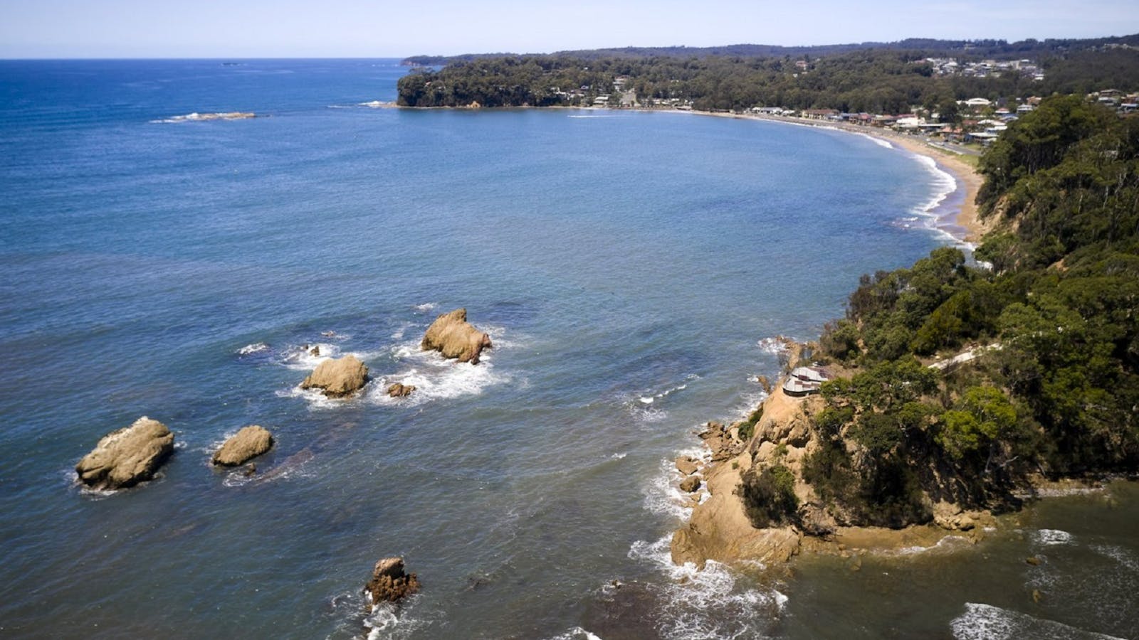
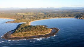
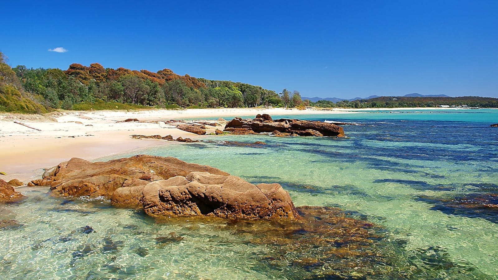
Eurobodalla is home to an abundance of beautiful bays, secluded coves and naturally formed rock pools just waiting to be explored.

One of the many calm bay beaches within Batemans Bay, partially protected from the full force of the ocean and nor-easterly winds.


Maloneys beach is ideal for family outings with a wide grassy reserve, toilets, boat ramp, free electric barbecues and covered picnic tables.

A well protected beach within the broader waters of Batemans Bay. Calm, shallow waters make this a perfect beach for families.


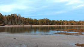


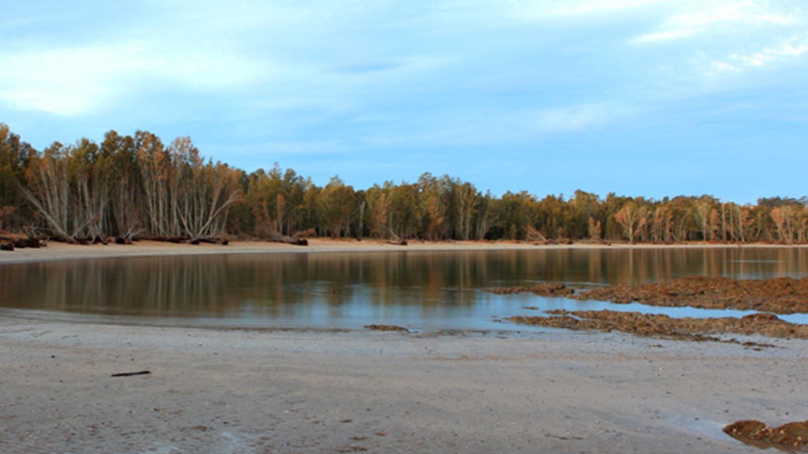

Batemans Bay is beautiful, but it also has a hidden trump card up its sleeve; Cullendulla Creek Nature Reserve.


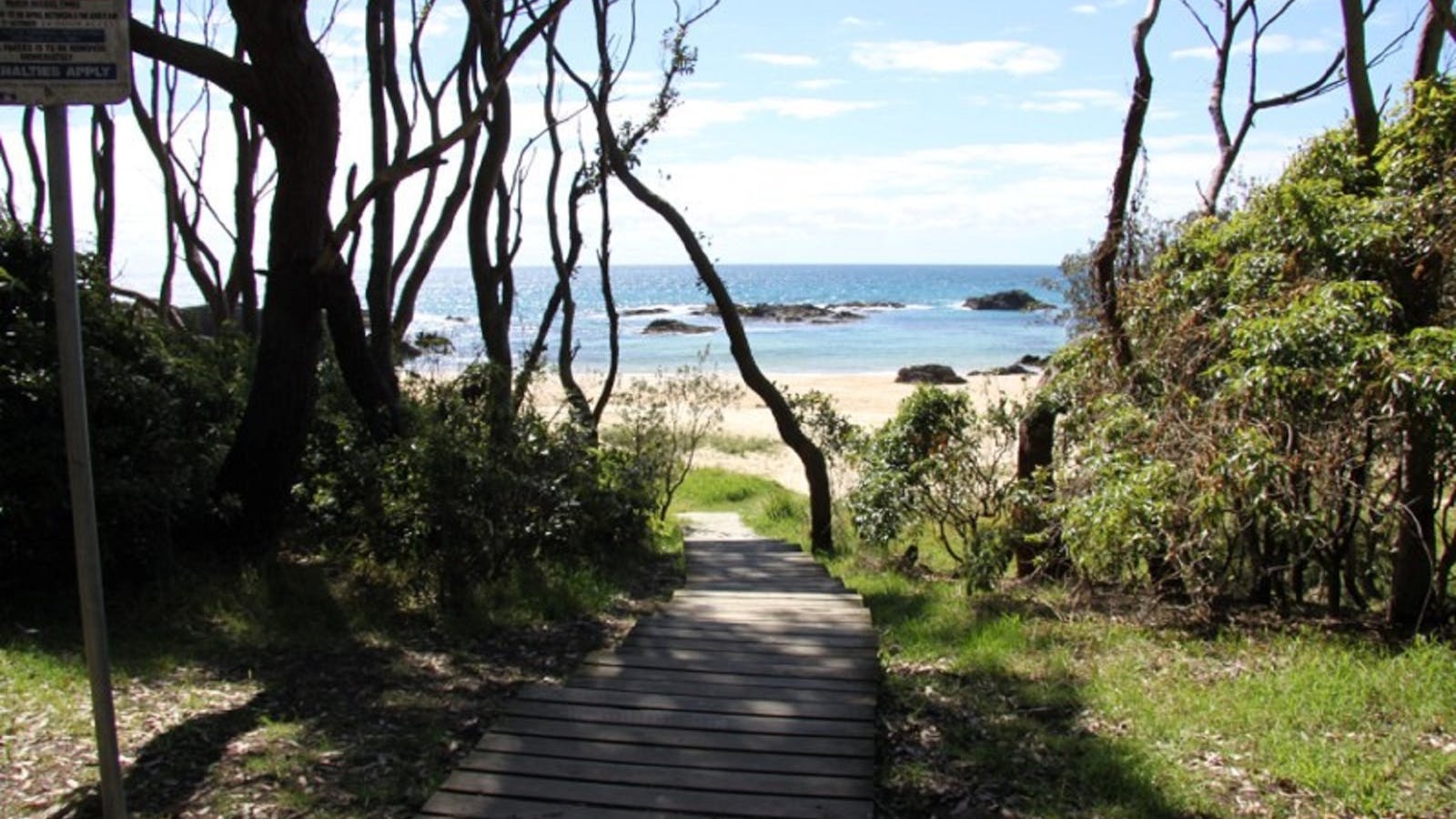
Right beside Cullendulla Beach, the Mangrove walk is the only one of its kind in the entire area. Raised boardwalks thread through the marine park


Just an easy walk along a beautiful boardwalk, Cullendulla Beach has pride of place in the nature reserve, right at the mouth of the creek
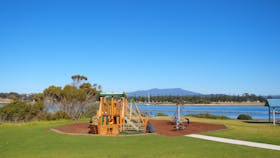
The calm bay of Corrigans Beach, at Batehaven, is just 4 kilometres south of Batemans Bay and is perfect for families.


Sights & Activities
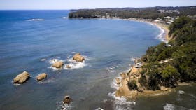


Located at Batehaven, Observation Point is a lookout and picnic area with fabulous views overlooking the beach out to the beautiful Snapper Island.
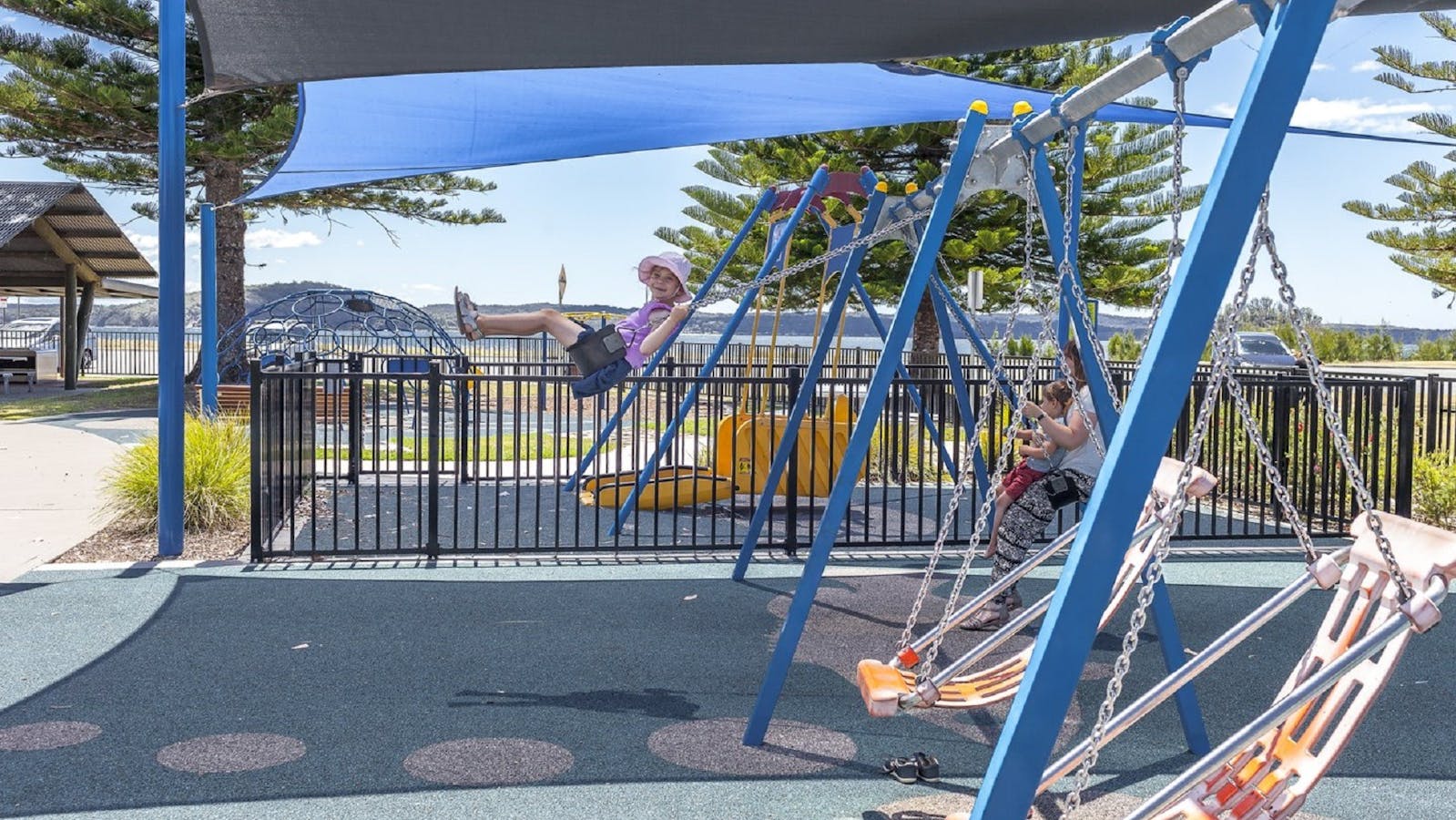

The reserve and playground is set on the calm bay of Corrigans Beach, at Batehaven, just 4 kilometres south of Batemans Bay.
Caseys is an excellent beach for children with a small playground overlooking the beach.


Sights & Activities
Located at Batehaven, Observation Point is a lookout and picnic area with fabulous views overlooking the beach out to the beautiful Snapper Island.
Sunshine Cove is a protected and pretty little beach with a pebbly shoreline.


Lilli Pilli Beach is a picturesque horse-shoe bay, tucked away off the main road in the suburb of Lilli Pilli.


The narrow sand spit that connects Broulee Island to the mainland shelters these two bays, making them ideal for swimming.


Sights & Activities

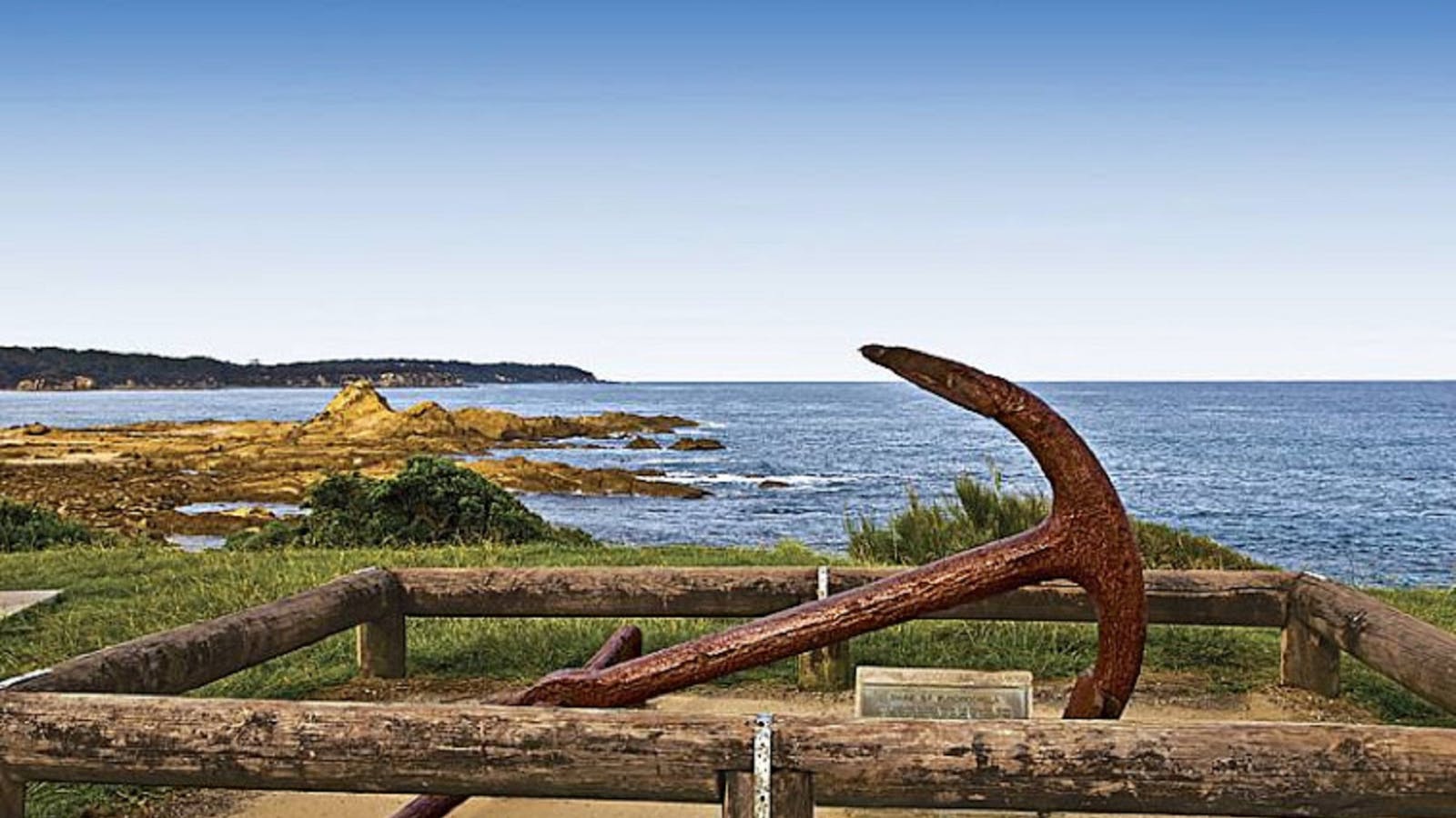

Take in the beautiful views over Tomakin, Mossy Point and Broulee from the Mossy Point Anchor Lookout.


The four kilometre Broulee Island Walk begins south of the main beach at Broulee, across a permanent sand bar. The walk features ocean vistas across
Shelly Beach at Moruya Heads is a popular family recreational spot with picnic facilities at the mouth of the Moruya River.

A small 200 metre beach located at the south end of the Kianga township.


A netted beach protected by the Narooma Bar breakwalls, its sheltered position makes it perfect for families with young children.


Sights & Activities


If you are looking for that perfect picnic area then look no further. Sit back and take in the stunning views of the Wagonga Inlet.


Along the scenic Mill Bay Boardwalk, gaze out on the beautiful emerald water and see that it is teeming with life.
Mystery Bay’s name arises from the mystery surrounding the disappearance of a government geologist, Lamont Young, in 1880.


Sights & Activities


A scenic track takes you on a loop from Mystery Bay, through the camping ground, and to the historic Velodrome.
Mystery Bay campground fronts the ocean and is one of the few natural camping areas remaining on the New South Wales South Coast.

From Mystery Bay camping area follow the bush track north to Billy's Beach, an important Aboriginal site and great for families.

Mystery Bay lookout is in the most southern part of Eurobodalla National Park not far from the picturesque hamlet of Mystery Bay. The lookout offers


A ten minute stroll from the entrance to Eurobodalla National Park will find you at Pooles Beach.
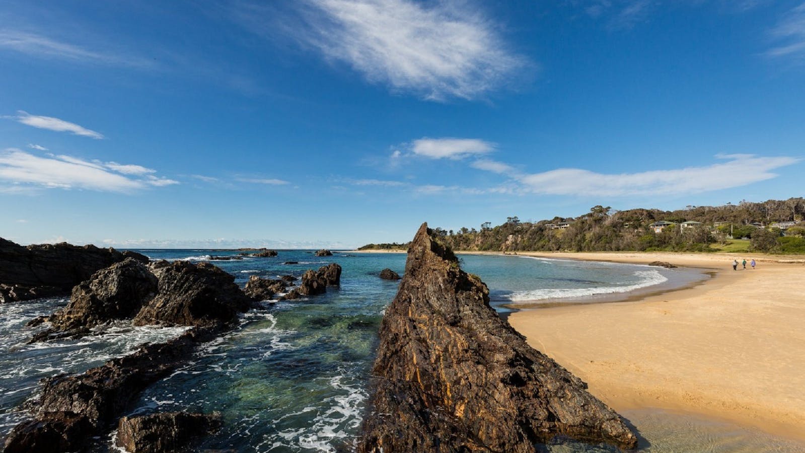
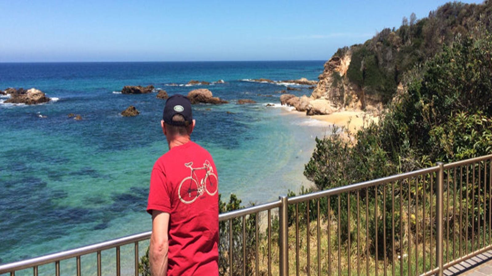
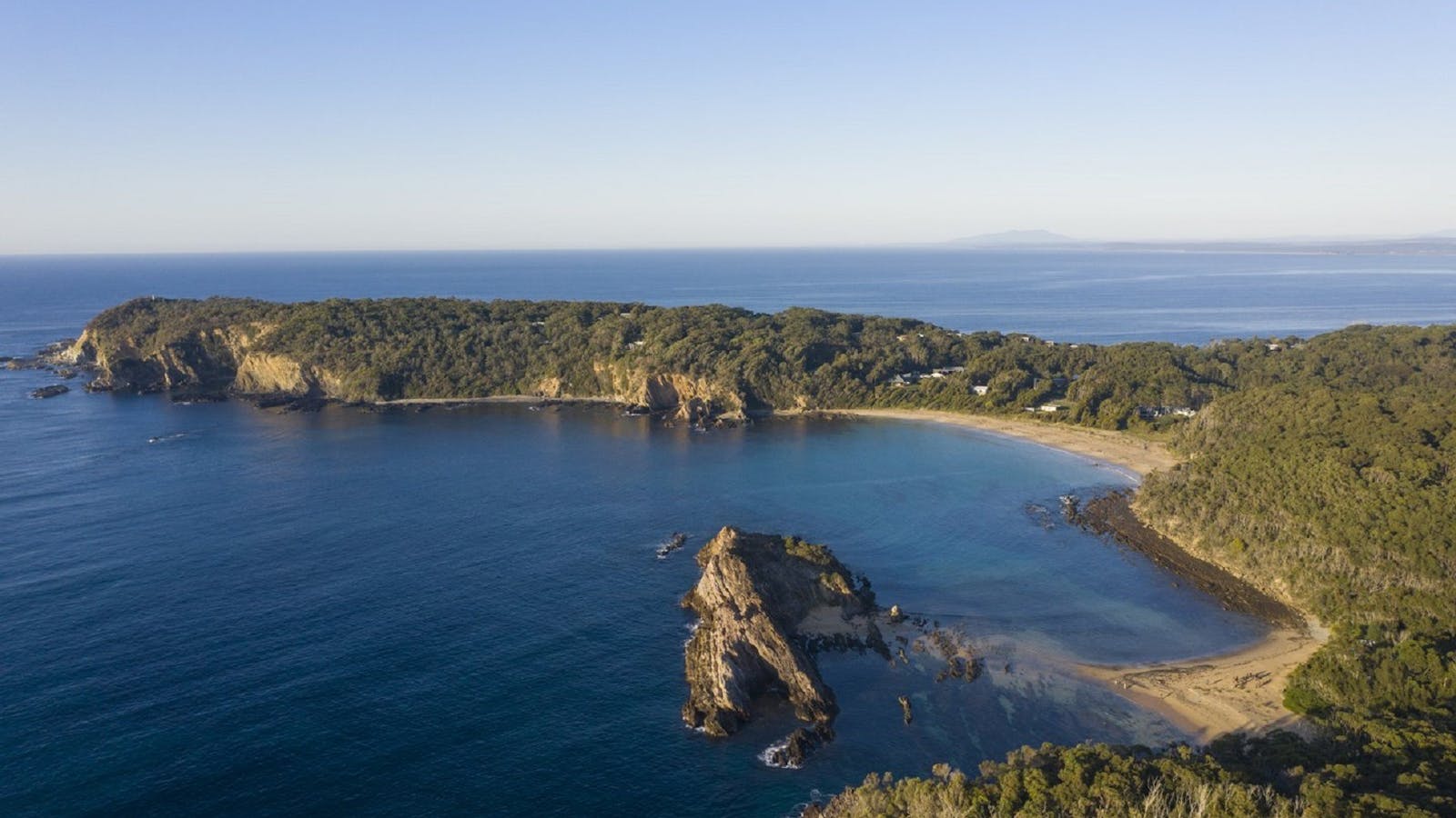
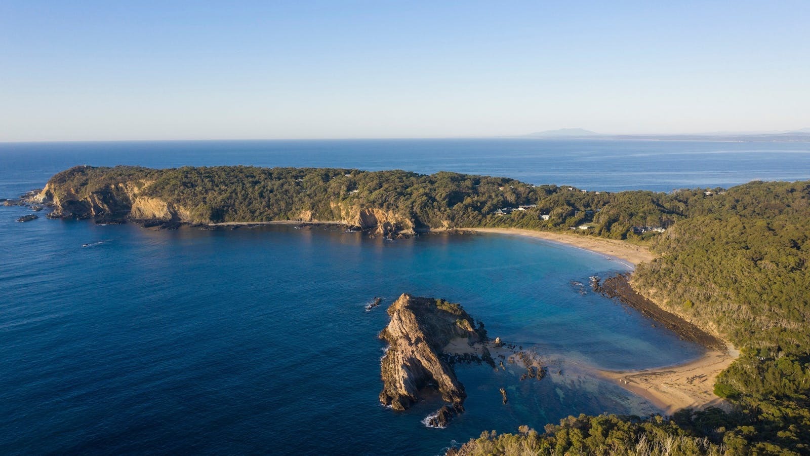
Guerilla Bay is a popular destination for scuba divers and snorkellers.


Sights & Activities


Burrewarra Point has a charming walk through a mature banksia forest with views of the coast and hinterland.

The lookout is a charming 10 minute walk from the carpark on Burri Point
This sheltered cove is protected by Melville Point to the north and the low rocky platforms to the south.


Sights & Activities


Melville Point, also known as “Burying Point” and “Gravehead” due to the early settler cemetery there, has beautiful sweeping coastal views.
Using QR Codes
Open your Camera App or download a QR reader
Point your camera at the QR Code which will launch the correct app
Access websites and features such as maps and directions
Optional Downloads
GPX File
For use in apps such as GPS Navigation and wearable devices
KML File
For use in offline mapping products, such as maps.me and Google Maps
PDF File
A link to this document
Build your own itineraries
Alpaca provides a way for you to build your own itineraries. Visit https://alpaca.travel
Terms of Service and Attribution
Copyright Alpaca.travel, Mapbox.com and OpenStreetMaps
openstreetmaps.com.
Terms of Service
https://alpaca.travel/terms