Parks and Forests

Details

Curated selection of points

Explore the amazing coastal and hinterland national parks and reserves in the Eurobodalla

Eurobodalla's National Parks, State Forests and reserves offer something for everyone. Set off on a bushwalk, stop for a picnic, mountain bike the trails, four wheel drive the tracks or set up camp surrounding yourself in nature.
Open in mobile
1
Budawang National Park

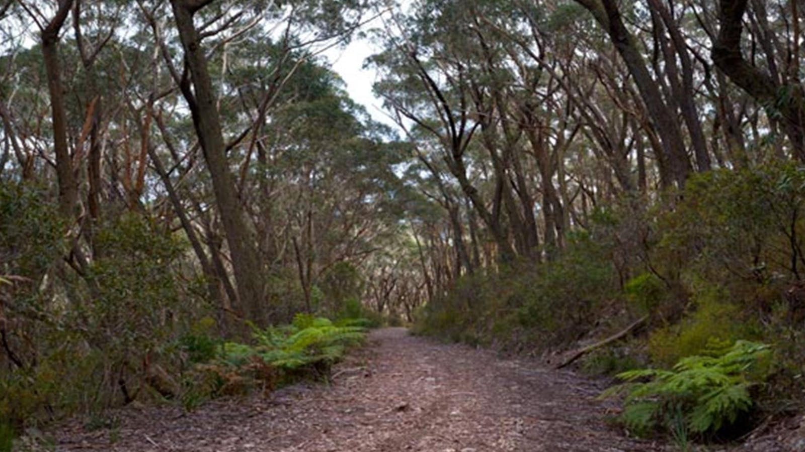
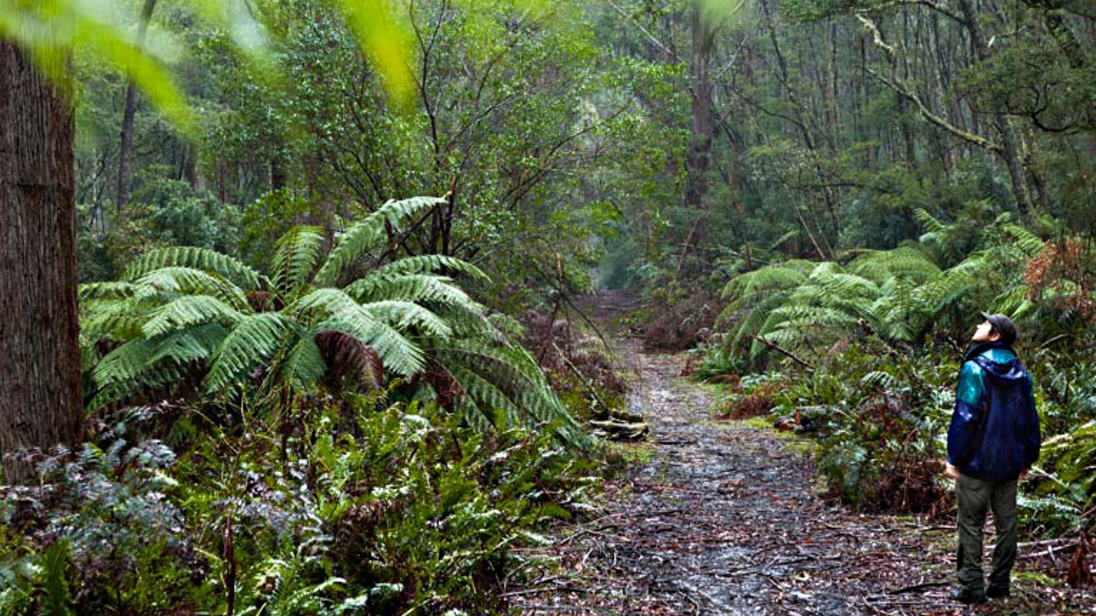
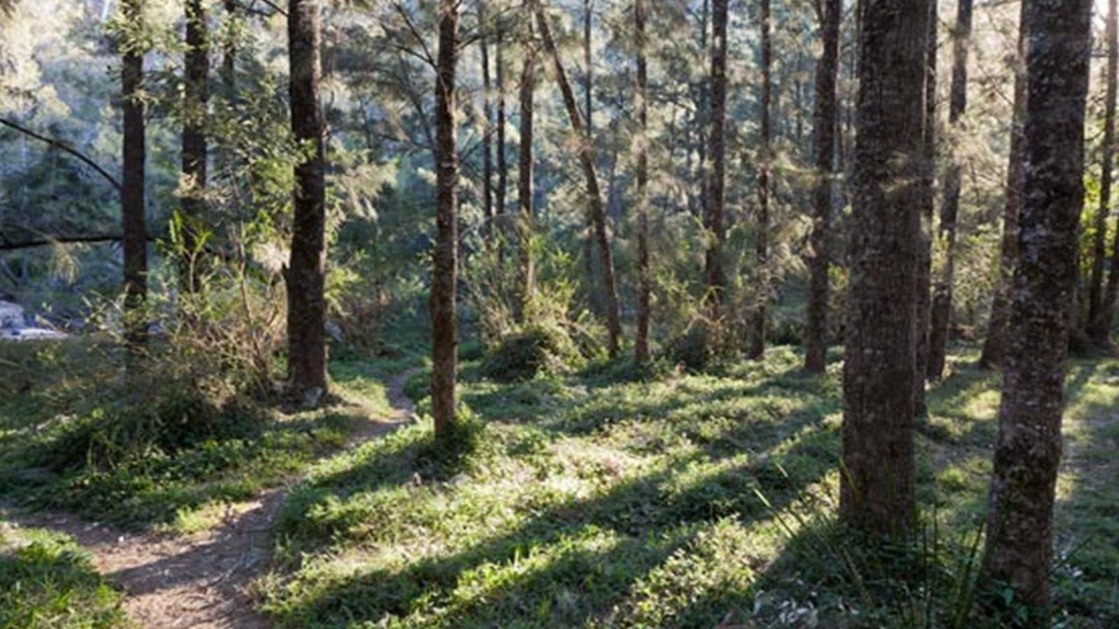
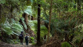
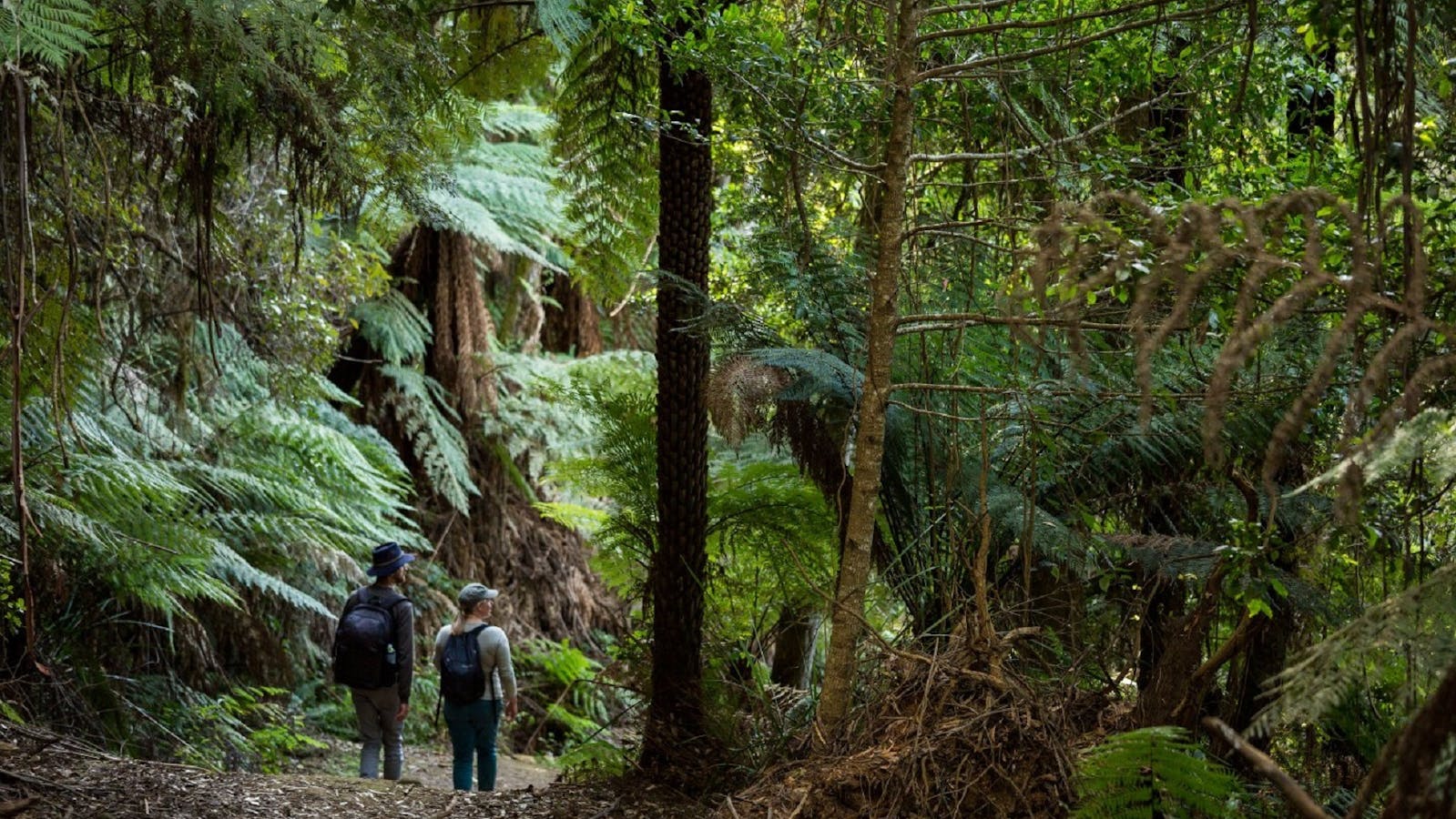
Budawang National Park is declared a wilderness area, with hiking, river camping, swimming and scenic views for advanced, well-equipped travellers.

Open in mobile
Fault Line Road, Budawang, New South Wales, Australia, 2622
1300 072 757
parks.info@environment.nsw.gov.au
Non-smoking, Picnic Area
Picnic Area
Camping, Canoeing/Kayaking, Rock Climbing, Swimming, Walks, Hiking, Lookouts
Get Directions

Sights & Activities

Mount Budawang trail
Mount Budawang Road, Budawang, New South Wales, Australia, 2622
Get Directions
Walks, Hiking

This is bushwalking at its best for those with a keen sense of adventure. Threading through a diverse range of environments – grassy woodland, wet

2
Monga National Park

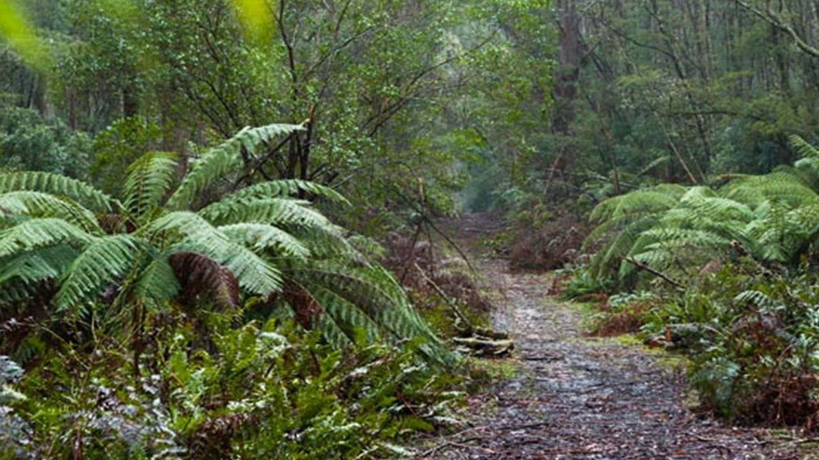
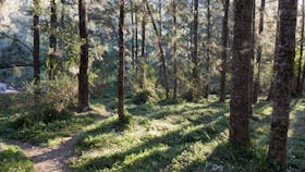
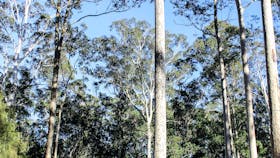
Monga National Park has something for all, with 4WD touring routes, walking and horse riding tracks to enjoy, peaceful places to picnic, and ancient forests

Open in mobile
Monga National Park, Monga, New South Wales, Australia, 2622
1300 072 757
parks.info@environment.nsw.gov.au
Non-smoking, Picnic Area
Picnic Area
Horse Riding, Walks, Hiking, Lookouts
Get Directions
Dasyurus picnic area
Dasyurus picnic area, Monga, New South Wales, Australia, 2622
1300 072 757
parks.info@environment.nsw.gov.au
Get Directions
Non-smoking, Picnic Area
Picnic Area, Barbeque
Parking

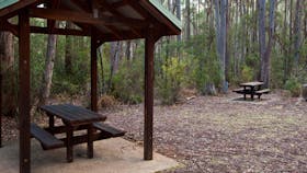
Dasyurus picnic area is a peaceful picnic spot, set on the banks of Mongarlowe River. It’s a tranquil place to stop on your drive to

Mongarlowe River picnic area
Mongarlowe River picnic area, Monga, New South Wales, Australia, 2622
1300 072 757
parks.info@environment.nsw.gov.au
Get Directions
Non-smoking, Picnic Area
Picnic Area, Barbeque
Parking

If you’re looking for a quiet place to picnic amid nature, you’ll love Mongarlowe River picnic area.

Corn Trail Walking Track
Photo: Lucas Boyd
No Name Mountain Road, Buckenbowra, New South Wales, Australia, 2536
Get Directions
Horse Riding, Walks, Hiking

Take a journey back in time and follow a route that has been used for thousands of years. Popular today with bushwalkers and horse riding

3
Murramarang National Park

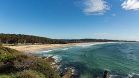
Organise a school excursion to Murramarang National Park near Batemans Bay on the NSW south coast. There are great surfing, swimming, walking, camping and fishing.

Open in mobile
North Durras Road, East Lynne, New South Wales, Australia, 2536
1300 072 757
parks.info@environment.nsw.gov.au
Non-smoking, Picnic Area
Picnic Area
Camping, Canoeing/Kayaking, Fishing, Snorkelling, Surfing, Swimming, Walks, Hiking, Lookouts
Get Directions
4
Eurobodalla Regional Botanic Garden

Eurobodalla Regional Botanic Gardens is situated 5 klms south of Batemans Bay and one of the top 10 gardens in Australia.

Open in mobile
Princes Highway, Mogo, New South Wales, Australia, 2536
(02) 4471 2544
contact@erbg.org.au
Free Entry
Public Toilet, Picnic Area
Picnic Area, Cafe, Barbeque
Public Toilet
Birdwatching, Walks, WiFi
Parking, Coach Parking
Get Directions
5
Mogo State Forest

timber production

Open in mobile
Get Directions

Sights & Activities

Mogo
Sydney Street, Mogo, New South Wales, Australia, 2536
Get Directions
Birdwatching, Hiking, Scenic Drives, Walks

Mogo has a charm that is hard to define. The former gold rush village has developed that certain something – an authentic but quirky mix.

Mogo Bushwalk
Tomakin Road , Mogo, New South Wales, Australia, 2536
1800 802 528
info@eurobodalla.com.au
Get Directions
Free Entry
Birdwatching, Hiking, Walks

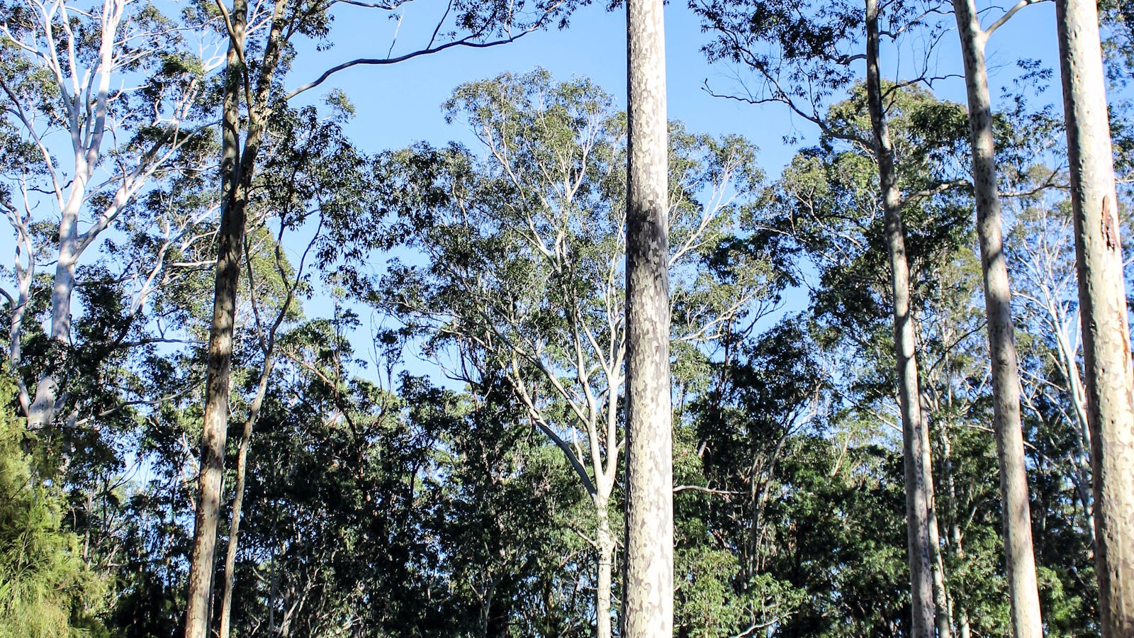
Tucked in behind the historic town of Mogo, Mogo Bushwalk in the Mogo State Forest meanders through wet and dry eucalyptus forests.

6
Broulee Island Nature Reserve Walk

The four kilometre Broulee Island Walk begins south of the main beach at Broulee, across a permanent sand bar.

Open in mobile
Broulee Island, Broulee, New South Wales, Australia, 2537
1800 802 528
info@eurobodalla.com.au
Free Entry
Public Toilet, Picnic Area
Picnic Area, Barbeque
Public Toilet
Birdwatching, Fishing, Swimming
Parking
Get Directions
7
Eurobodalla National Park

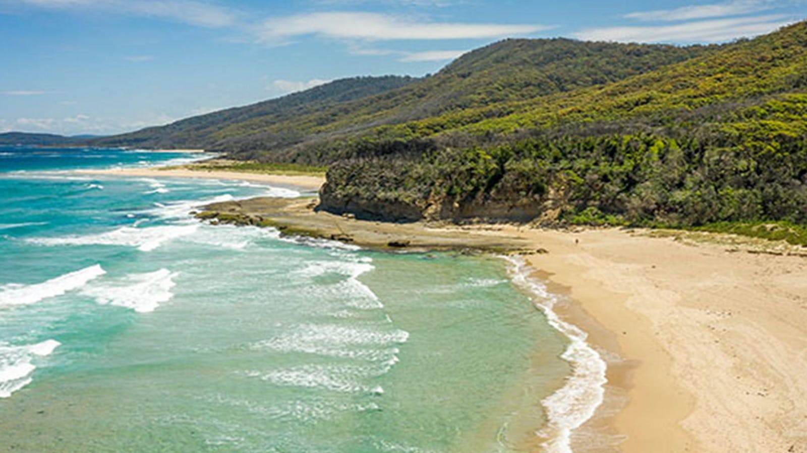
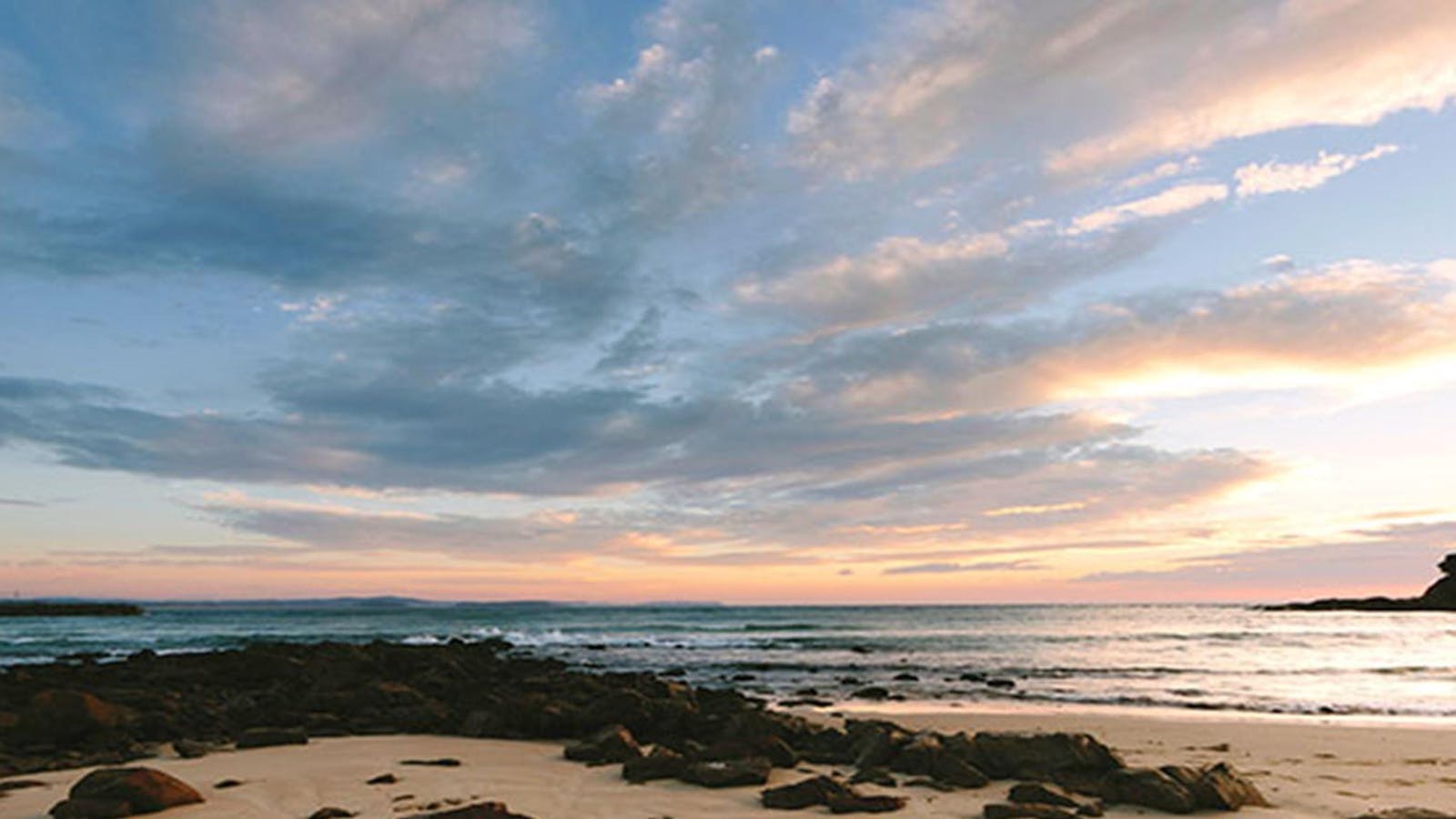
Eurobodalla National Park, on the far south coast of NSW, stretches from Moruya Head to Mystery Bay. It's an exceptional place to visit on a

Open in mobile
OEH
Eurobodalla National Park, Bodalla, New South Wales, Australia, 2545
1300 072 757
parks.info@environment.nsw.gov.au
Non-smoking, Picnic Area
Picnic Area
Boating, Camping, Canoeing/Kayaking, Fishing, Sailing, Surfing, Swimming, Walks, Lookouts, Boating Facilities
Get Directions
Snorkelling Potato Point
Long Point Street, Potato Point, New South Wales, Australia, 2545
1800 802 528
info@eurobodalla.com.au
Get Directions

Potato Point is nine kilometres east of Bodalla. At Potato Point, snorkellers can find themselves suddenly enveloped in a school of kingfish or salmon.

Bingi Bingi Point
OEH
Bingie Road, Bingie, New South Wales, Australia, 2537
1300 072 757
parks.info@environment.nsw.gov.au
Get Directions
Non-smoking
Lookouts
Parking

Bingi Bingi Point offers a scenic expanse of golden beaches and untamed bushland with sea eagles soaring overhead and waves crashing on rugged rocks below.

Bingi Dreaming Track
Destination NSW
Tuross Boulevard, Tuross Head, New South Wales, Australia, 2537
Get Directions
Walks, Hiking

Follow in the footsteps of the Brinja-Yuin people as you walk the Bingi Dreaming track.

8
Deua National Park

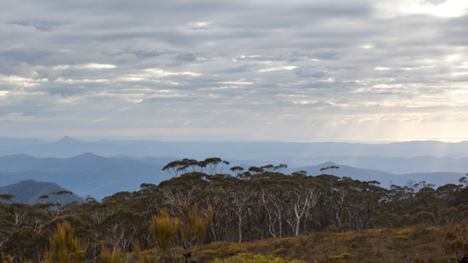
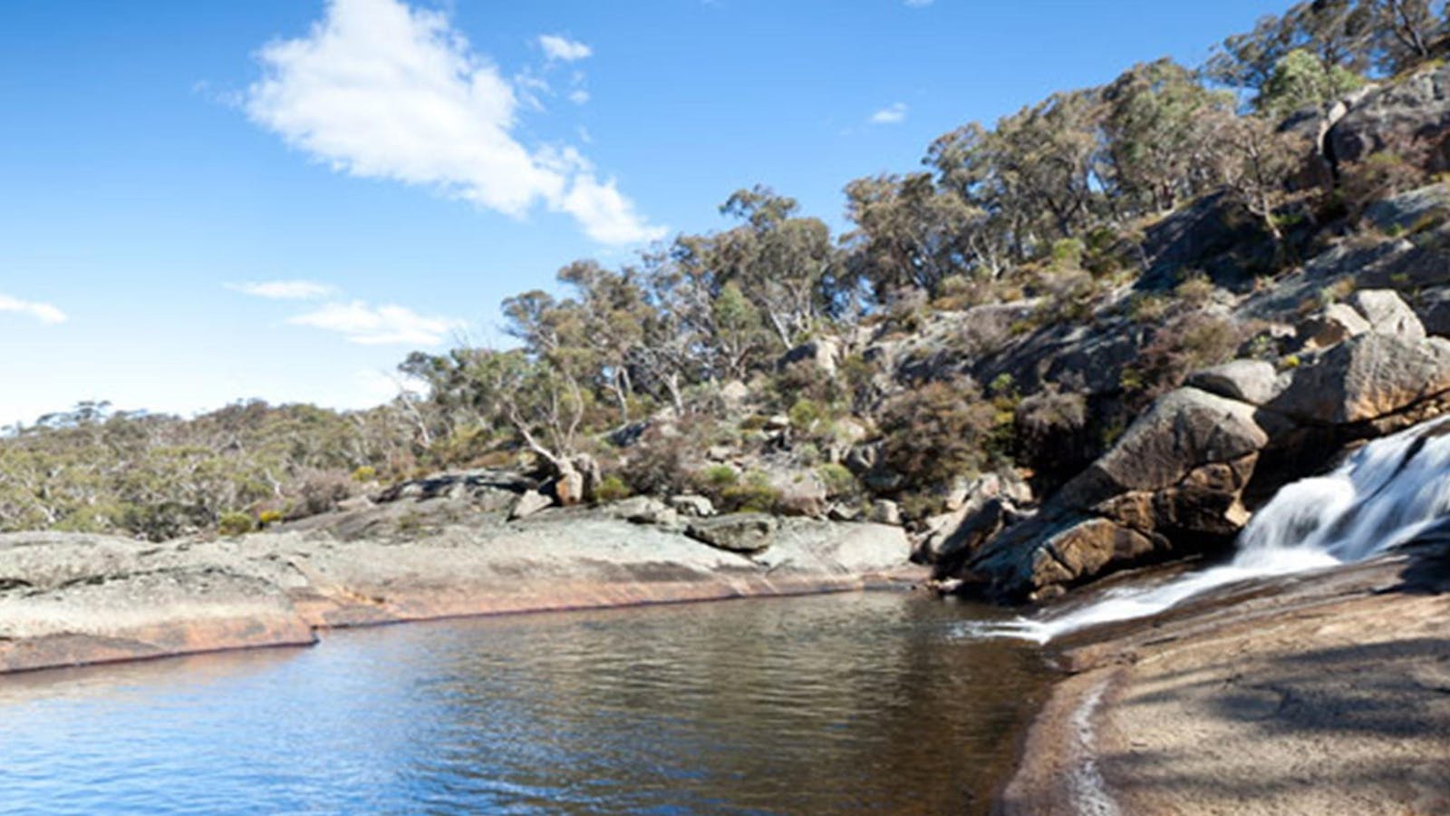
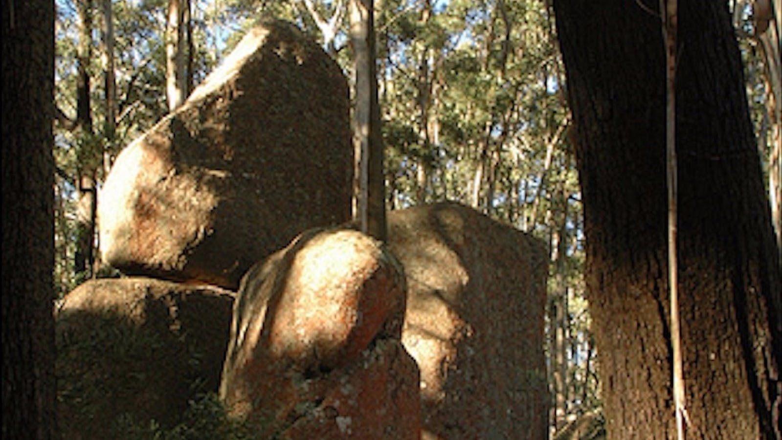
Deua National Park, where you can hike, drive, camp, swim, lilo, canoe, picnic and birdwatch, lies between the New South Wales towns of Braidwood, Moruya

Open in mobile
Deua National Park, Deua, New South Wales, Australia, 2537
1300 072 757
parks.info@environment.nsw.gov.au
Non-smoking
Camping, Walks, Lookouts
Get Directions
Deua River campgrounds
3539 Araluen Road, Deua River Valley, New South Wales, Australia, 2537
1300 072 757
parks.info@environment.nsw.gov.au
Get Directions
5 rooms
Non-smoking
Barbeque
Canoeing/Kayaking, Swimming
$12 ~ $36 AUD
Parking

Deua River, Bakers Flat and Dry Creek, spaced along the she-oak lined Deua River, are all great places to camp.

Bendethera Caves Walking Trek
Bendethera, Deua River, New South Wales, Australia, 2537
Get Directions

Bendethera Valley campground
Bendethera Camp Trail, Deua, New South Wales, Australia, 2537
1300 072 757
parks.info@environment.nsw.gov.au
Get Directions
1 rooms
Non-smoking
Barbeque
$0 AUD*
* There are no camping fees at this campground but a $6 booking fee applies.

The beautiful and remote campground of Bendethera Valley is the ideal place for a relaxing break, as well as a great base for cavers.

9
Bodalla State Forest

timber production

Open in mobile
Get Directions

Sights & Activities

Bodalla Forest Rest Area
Forestry Corporation of NSW
Princes Highway, Bodalla, New South Wales, Australia, 2545
1300 655 687
visit@fcnsw.com.au
Get Directions
Free Entry
Public Toilet, Picnic Area
Picnic Area
Public Toilet
Parking

Surrounded by tall spotted gums, Bodalla Forest Rest Area offers picnic tables, toilets and access to a walking track around Mummaga Lake.

10
Wadbilliga National Park

Wadbilliga National Park is perfect for self-reliant bushwalkers and campers. Go hiking, camping, birdwatching or mountain biking and explore this wonderful park.

Open in mobile
Wadbilliga Road, Wadbilliga, New South Wales, Australia, 2546
1300 072 757
parks.info@environment.nsw.gov.au
Non-smoking
Four Wheel Driving, Mountain Biking, Camping, Walks, Lookouts
Get Directions

Sights & Activities

Wadbilliga Road drive
Wadbiliga Road, Wadbilliga, New South Wales, Australia, 2546
Get Directions
Four Wheel Driving, Cycling, Walks, Hiking

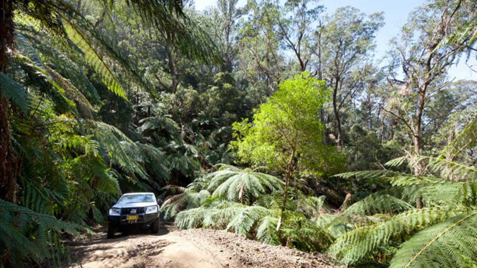
For the 4WD adventurer with a bit of experience handling diverse terrain, this medium-difficulty route takes you through wild country with incredible mountain views.

11
Gulaga National Park

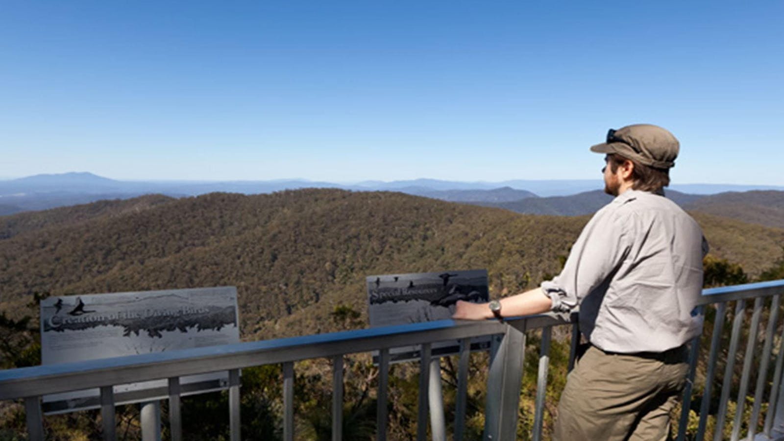
Gulaga National Park was created in January 2001. It covers an area of 4673ha. Gulaga (Mount Dromedary) and the surrounding landscape have great spiritual significance

Open in mobile
Gulaga National Park, Tilba Tilba, New South Wales, Australia, 2546
(02) 4476 0800
Free Entry
Birdwatching, Walks
Parking
Get Directions
Gulaga Mountain Walk
La Galette Cafe, Tilba Tilba, New South Wales, Australia, 2546
1800 802 528
info@eurobodalla.com.au
Get Directions
Free Entry
Picnic Area
Picnic Area
Birdwatching, Walks, Hiking
Parking

The steep track up the mountain was built in 1894 for gold miners.

Tilba Talks Heritage Walks, Walking Tours
Tilba walks
Corkhill Drive, Central Tilba, New South Wales, Australia, 2546
0433 114 374
tilbatalks@gmail.com.au
Get Directions

Tapping into this fascinating history is Tilba Walks Heritage Talks Walking Tours. This small group tour specialist offers an exclusive walking tours.

Water Tower Lookout Central Tilba
3 Station Street, Central Tilba, New South Wales, Australia, 2546
1800 802 528
info@eurobodalla.com.au
Get Directions
Free Entry
Picnic Area
Picnic Area

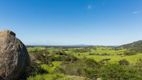
Take the five minute walk from Station Street in Central Tilba for a rewarding panoramic view of the town, surrounding region and Montague Island.

Bellbrook Farm Loop Walk
Eurobodalla Shire Council
Station Street, Central Tilba, New South Wales, Australia, 2546
info@eurobodalla.com.au
Get Directions
Picnic Area
Picnic Area

A scenic 2km walk around the foothills of Gulaga (Mount Dromedary). Start the walk at the end of Station Street, which runs off Bate Street

12
Kooraban National ParkKooraban-Nationalpark

Kooraban National Park was created in January 2001.

Open in mobile
Dignams Creek, NSW, Australia
Get Directions
Located in the Dignams Creek area (15 km south-west of Narooma) this park covers almost 14,000 hectares and protects important habitat for the koala and several endangered frog species.
13
Batemans Marine Park and Sanctuary

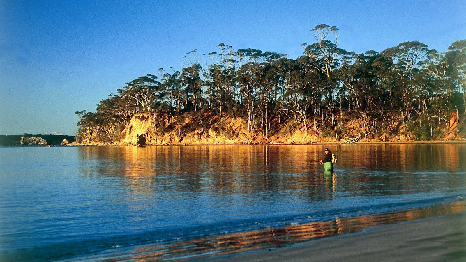
A good days fishing, with plenty more for tomorrow.

Open in mobile
Batemans Marine Park, Batemans Bay, New South Wales, Australia, 2536
1800 802 528
info@eurobodalla.com
Free Entry
Canoeing/Kayaking, Scuba Diving, Fishing, Surfing, Swimming
Parking
Get Directions
14
Montague Island

Open in mobile
Montague Island, New South Wales, Australia, 2546
Get Directions
Montague Island Lighthouse
Montague Island, New South Wales, Australia, 2546
Get Directions

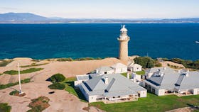
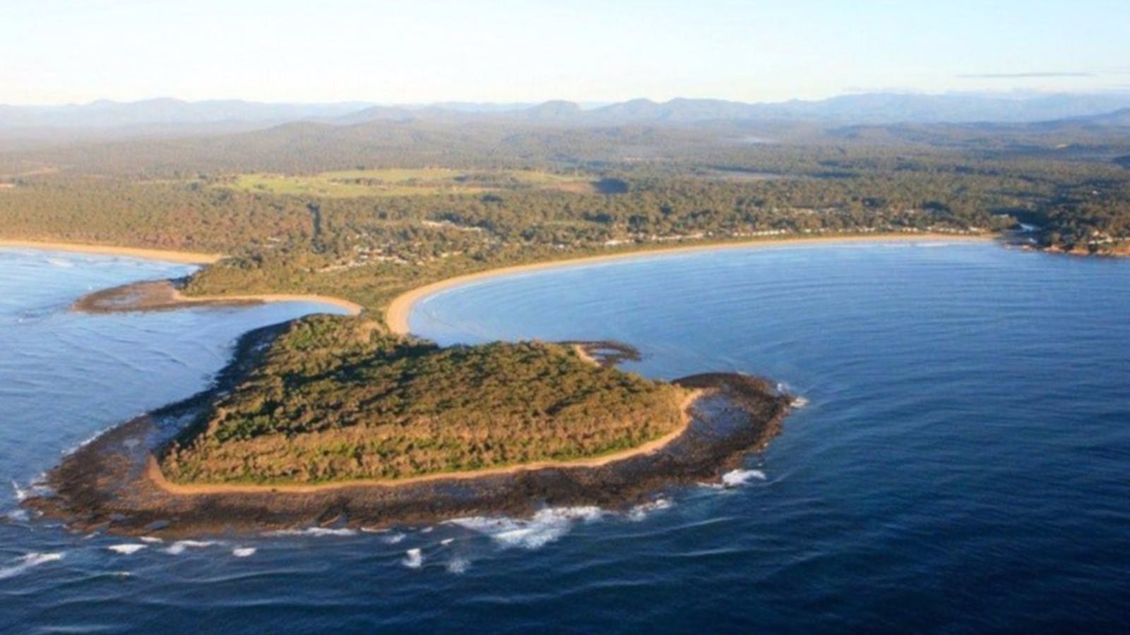
Montague Island Lighthouse is the perfect place to get in touch with history while seeing dramatic views, amazing birds and marine wildlife. Let your inner

Montague Island Nature Reserve
Montague Island, Narooma, New South Wales, Australia, 2546
1300 072 757
parks.info@environment.nsw.gov.au
Get Directions
Non-smoking
Birdwatching, Walks, Lookouts

Montague Island Nature Reserve is home to hundreds of seals and more than 90 bird species. Enjoy a stay in a heritage lighthouse keeper’s cottage.

Using QR Codes

Open your Camera App or download a QR reader

Point your camera at the QR Code which will launch the correct app

Access websites and features such as maps and directions

Optional Downloads

GPX File

For use in apps such as GPS Navigation and wearable devices

KML File

For use in offline mapping products, such as maps.me and Google Maps

PDF File

A link to this document

Build your own itineraries

Alpaca provides a way for you to build your own itineraries. Visit https://alpaca.travel

Terms of Service and Attribution

Copyright Alpaca.travel, Mapbox.com and OpenStreetMaps openstreetmaps.com.
Terms of Service https://alpaca.travel/terms